Area Overview for B26 2JD
Photos of B26 2JD
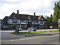
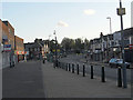
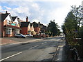
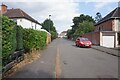
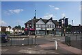
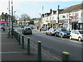
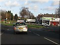
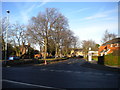
15 photos from this area
Area Information
Key information about the B26 2JD including its size, population, and administrative classification.
- Area Type
- Postcode
- Area Size
- 3.2 hectares
- Population
- 1461
- Population Density
- 6292 people/km²
House Prices in B26 2JD
56
Properties
£161,385
Average Sold Price
£54,500
Lowest Price
£350,000
Highest Price
Showing 56 properties
| Address | Type | Beds | Baths | Last Sale Price | Last Sale Date | |
|---|---|---|---|---|---|---|
| 122 Duncroft Road, Birmingham, B26 2JD | Semi-detached | 3 | 1 | £236,000 | Dec 2024 | |
| 118 Duncroft Road, Birmingham, B26 2JD | Semi-detached | 3 | 1 | £216,000 | Sep 2024 | |
| 142 Duncroft Road, Birmingham, B26 2JD | Detached | 3 | - | £265,000 | Feb 2024 | |
| 127 Duncroft Road, Birmingham, B26 2JD | Semi-detached | 3 | 1 | £165,000 | Nov 2023 | |
| 121 Duncroft Road, Birmingham, B26 2JD | Detached | 3 | 1 | £350,000 | Oct 2023 | |
| 99 Duncroft Road, Birmingham, B26 2JD | house | - | - | £225,000 | Aug 2022 | |
| 115 Duncroft Road, Birmingham, B26 2JD | house | - | - | £165,000 | May 2022 | |
| 91 Duncroft Road, Birmingham, B26 2JD | Semi-detached | 2 | 1 | £246,000 | Feb 2022 | |
| 106 Duncroft Road, Birmingham, B26 2JD | house | - | - | £230,000 | Nov 2021 | |
| 154 Duncroft Road, Birmingham, B26 2JD | Semi-detached | 2 | 1 | £195,000 | Sep 2021 |
Page 1 of 6
Energy Efficiency in B26 2JD
Amenities
Schools
| Rank | School | Type | Entry gender | Ages |
|---|
Explore more schools in this area
Go to Schools tabDemographics
Household Size
Family (3-5 people)
most common
Accommodation Type
Houses
most common
Tenure
84
majority
Ethnic Group
White
most common
Religion
N/A
most common
Household Composition
N/A
most common
Age
47
median
Adults (30-64 years)
most common
Household Deprivation
N/A
with no deprivation
NS-SEC
28
in Lower managerial occupations
Explore more demographic insights in this area
Go to Demographics tabPlanning
Planning Constraints
- Flood RiskPremium
- Ramsar Wetland SitesPremium
- Area of Outstanding Natural BeautyPremium
- Protected Nature ReservePremium
- Protected WoodlandPremium