Area Overview for B26 1SQ
Photos of B26 1SQ
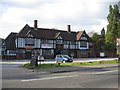
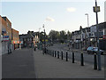
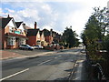
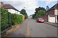
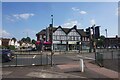
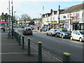
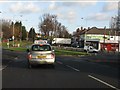
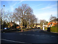
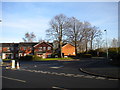
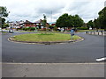
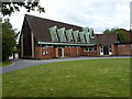
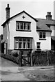
15 photos from this area
Area Information
Key information about the B26 1SQ including its size, population, and administrative classification.
- Area Type
- Postcode
- Area Size
- 7812 m²
- Population
- 1658
- Population Density
- 6194 people/km²
House Prices in B26 1SQ
24
Properties
£199,111
Average Sold Price
£56,000
Lowest Price
£278,000
Highest Price
Showing 24 properties
| Address | Type | Beds | Baths | Last Sale Price | Last Sale Date | |
|---|---|---|---|---|---|---|
| 57 Croft Road, Birmingham, B26 1SQ | Semi-detached | 3 | 1 | £270,000 | Jan 2025 | |
| 51 Croft Road, Birmingham, B26 1SQ | Semi-detached | 3 | 1 | £240,000 | May 2024 | |
| 54 Croft Road, Birmingham, B26 1SQ | Semi-detached | 3 | 1 | £278,000 | Feb 2023 | |
| 46 Croft Road, Birmingham, B26 1SQ | Semi-detached | 3 | 1 | £265,000 | Mar 2022 | |
| 56 Croft Road, Birmingham, B26 1SQ | Semi-detached | 3 | 1 | £249,000 | Feb 2022 | |
| 52 Croft Road, Birmingham, B26 1SQ | Semi-detached | 3 | 2 | £230,000 | Sep 2021 | |
| 55 Croft Road, Birmingham, B26 1SQ | Semi-detached | 3 | 2 | £233,000 | Mar 2021 | |
| 62 Croft Road, Birmingham, B26 1SQ | Semi-detached | 3 | 1 | £240,000 | Nov 2020 | |
| 64 Croft Road, Birmingham, B26 1SQ | Semi-detached | 3 | 1 | £210,000 | Nov 2020 | |
| 59 Croft Road, Birmingham, B26 1SQ | Semi-detached | 3 | 2 | £252,000 | Oct 2020 |
Page 1 of 3
Energy Efficiency in B26 1SQ
Amenities
Schools
| Rank | School | Type | Entry gender | Ages |
|---|
Explore more schools in this area
Go to Schools tabDemographics
Household Size
Family (3-5 people)
most common
Accommodation Type
Houses
most common
Tenure
78
majority
Ethnic Group
White
most common
Religion
N/A
most common
Household Composition
N/A
most common
Age
47
median
Adults (30-64 years)
most common
Household Deprivation
N/A
with no deprivation
NS-SEC
26
in Lower managerial occupations
Explore more demographic insights in this area
Go to Demographics tabPlanning
Planning Constraints
- Flood RiskPremium
- Ramsar Wetland SitesPremium
- Area of Outstanding Natural BeautyPremium
- Protected Nature ReservePremium
- Protected WoodlandPremium