Area Overview for B26 1EA
Photos of B26 1EA

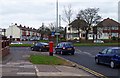
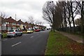
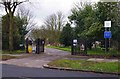
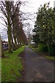
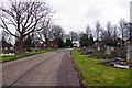
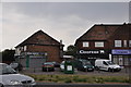
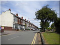
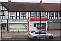

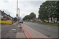
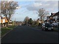
19 photos from this area
Area Information
Key information about the B26 1EA including its size, population, and administrative classification.
- Area Type
- Postcode
- Area Size
- 1.1 hectares
- Population
- 1578
- Population Density
- 5388 people/km²
House Prices in B26 1EA
16
Properties
£184,915
Average Sold Price
£33,875
Lowest Price
£397,000
Highest Price
Showing 16 properties
| Address | Type | Beds | Baths | Last Sale Price | Last Sale Date | |
|---|---|---|---|---|---|---|
| 265 Clay Lane, Birmingham, B26 1EA | Detached | 4 | 2 | £397,000 | Sep 2025 | |
| 245 Clay Lane, Birmingham, B26 1EA | house | - | - | £350,000 | Oct 2022 | |
| 253 Clay Lane, Birmingham, B26 1EA | Detached | 3 | 2 | £262,500 | Dec 2018 | |
| 251 Clay Lane, Birmingham, B26 1EA | house | - | - | £287,500 | Feb 2018 | |
| 214 Clay Lane, Birmingham, B26 1EA | house | - | - | £187,500 | Jun 2017 | |
| 271 Clay Lane, Birmingham, B26 1EA | Detached | 4 | - | £215,500 | Aug 2013 | |
| 247 Clay Lane, Birmingham, B26 1EA | house | - | - | £250,000 | Jul 2007 | |
| 216 Clay Lane, Birmingham, B26 1EA | Semi-detached | - | - | £62,500 | May 2006 | |
| 267 Clay Lane, Birmingham, B26 1EA | Detached | - | - | £213,500 | Apr 2003 | |
| 212 Clay Lane, Birmingham, B26 1EA | Semi-detached | - | - | £33,875 | Jul 2001 |
Page 1 of 2
Energy Efficiency in B26 1EA
Amenities
Schools
| Rank | School | Type | Entry gender | Ages |
|---|
Explore more schools in this area
Go to Schools tabDemographics
Household Size
One person
most common
Accommodation Type
Houses
most common
Tenure
65
majority
Ethnic Group
White
most common
Religion
N/A
most common
Household Composition
N/A
most common
Age
47
median
Adults (30-64 years)
most common
Household Deprivation
N/A
with no deprivation
NS-SEC
29
in Lower managerial occupations
Explore more demographic insights in this area
Go to Demographics tabPlanning
Planning Constraints
- Flood RiskPremium
- Ramsar Wetland SitesPremium
- Area of Outstanding Natural BeautyPremium
- Protected Nature ReservePremium
- Protected WoodlandPremium