Area Overview for B26 1BD
Photos of B26 1BD
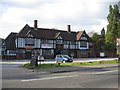
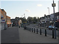
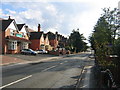
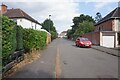
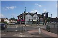
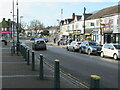
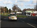
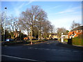
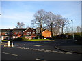
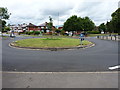
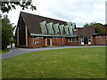
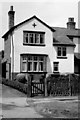
15 photos from this area
Area Information
Key information about the B26 1BD including its size, population, and administrative classification.
- Area Type
- Postcode
- Area Size
- 3780 m²
- Population
- 1352
- Population Density
- 7009 people/km²
House Prices in B26 1BD
12
Properties
£117,219
Average Sold Price
£47,000
Lowest Price
£199,000
Highest Price
Showing 12 properties
| Address | Type | Beds | Baths | Last Sale Price | Last Sale Date | |
|---|---|---|---|---|---|---|
| 103 Yew Tree Lane, Birmingham, B26 1BD | Terraced | 2 | 1 | £199,000 | Mar 2022 | |
| 113 Yew Tree Lane, Birmingham, B26 1BD | Terraced | 3 | 2 | £164,000 | Jul 2019 | |
| 107 Yew Tree Lane, Birmingham, B26 1BD | Terraced | 3 | 1 | £143,000 | Oct 2017 | |
| 109 Yew Tree Lane, Birmingham, B26 1BD | house | - | - | £85,000 | Dec 2012 | |
| 111 Yew Tree Lane, Birmingham, B26 1BD | house | 3 | - | £105,000 | Aug 2012 | |
| 97 Yew Tree Lane, Birmingham, B26 1BD | house | 3 | 1 | £137,250 | Jun 2006 | |
| 105 Yew Tree Lane, Birmingham, B26 1BD | Terraced | - | - | £57,500 | Feb 2001 | |
| 95 Yew Tree Lane, Birmingham, B26 1BD | Semi-detached | 3 | - | £47,000 | Jun 1996 | |
| Flat At, 93 Yew Tree Lane, Birmingham, B26 1BD | Flat | - | - | - | - | |
| Flat At, 119 Yew Tree Lane, Birmingham, B26 1BD | Flat | - | - | - | - |
Page 1 of 2
Energy Efficiency in B26 1BD
Amenities
Schools
| Rank | School | Type | Entry gender | Ages |
|---|
Explore more schools in this area
Go to Schools tabDemographics
Household Size
Family (3-5 people)
most common
Accommodation Type
Houses
most common
Tenure
80
majority
Ethnic Group
White
most common
Religion
N/A
most common
Household Composition
N/A
most common
Age
47
median
Adults (30-64 years)
most common
Household Deprivation
N/A
with no deprivation
NS-SEC
24
in Lower managerial occupations
Explore more demographic insights in this area
Go to Demographics tabPlanning
Planning Constraints
- Flood RiskPremium
- Ramsar Wetland SitesPremium
- Area of Outstanding Natural BeautyPremium
- Protected Nature ReservePremium
- Protected WoodlandPremium