Area Overview for B25 8ST
Photos of B25 8ST
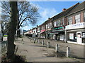
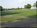

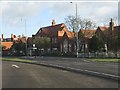
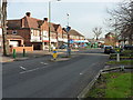
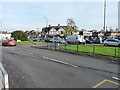
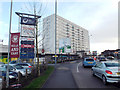
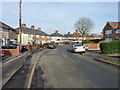
13 photos from this area
Area Information
Key information about the B25 8ST including its size, population, and administrative classification.
- Area Type
- Postcode
- Area Size
- 1.2 hectares
- Population
- 1897
- Population Density
- 9299 people/km²
House Prices in B25 8ST
49
Properties
£91,793
Average Sold Price
£40,600
Lowest Price
£177,000
Highest Price
Showing 49 properties
| Address | Type | Beds | Baths | Last Sale Price | Last Sale Date | |
|---|---|---|---|---|---|---|
| 10 Bessborough Road, Birmingham, B25 8ST | Terraced | 3 | 1 | £177,000 | Jun 2024 | |
| 33 Bessborough Road, Birmingham, B25 8ST | house | - | - | £131,500 | Mar 2018 | |
| 36 Bessborough Road, Birmingham, B25 8ST | Terraced | 3 | 1 | £127,000 | Jul 2017 | |
| 35 Bessborough Road, Birmingham, B25 8ST | Terraced | 3 | 1 | £85,000 | Nov 2015 | |
| 27 Bessborough Road, Birmingham, B25 8ST | house | 3 | - | £90,000 | Aug 2014 | |
| 9 Bessborough Road, Birmingham, B25 8ST | house | - | - | £99,000 | Jun 2008 | |
| 45 Bessborough Road, Birmingham, B25 8ST | house | - | - | £117,500 | Jan 2006 | |
| 42 Bessborough Road, Birmingham, B25 8ST | Semi-detached | 3 | 1 | £102,500 | Mar 2004 | |
| 23 Bessborough Road, Birmingham, B25 8ST | house | - | - | £95,000 | Oct 2003 | |
| 47 Bessborough Road, Birmingham, B25 8ST | Semi-detached | 3 | 1 | £65,000 | Feb 2002 |
Page 1 of 5
Energy Efficiency in B25 8ST
Amenities
Schools
| Rank | School | Type | Entry gender | Ages |
|---|
Explore more schools in this area
Go to Schools tabDemographics
Household Size
Family (3-5 people)
most common
Accommodation Type
Houses
most common
Tenure
51
majority
Ethnic Group
asian_total
most common
Religion
N/A
most common
Household Composition
N/A
most common
Age
22
median
Adults (30-64 years)
most common
Household Deprivation
N/A
with no deprivation
NS-SEC
13
in Lower managerial occupations
Explore more demographic insights in this area
Go to Demographics tabPlanning
Planning Constraints
- Flood RiskPremium
- Ramsar Wetland SitesPremium
- Area of Outstanding Natural BeautyPremium
- Protected Nature ReservePremium
- Protected WoodlandPremium