Area Overview for B25 8AU
Photos of B25 8AU
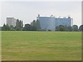
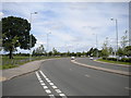
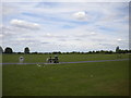
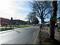
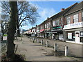
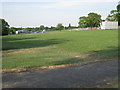

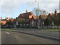
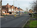
13 photos from this area
Area Information
Key information about the B25 8AU including its size, population, and administrative classification.
- Area Type
- Postcode
- Area Size
- 1.3 hectares
- Population
- 1999
- Population Density
- 5065 people/km²
House Prices in B25 8AU
59
Properties
£98,843
Average Sold Price
£40,000
Lowest Price
£200,000
Highest Price
Showing 59 properties
| Address | Type | Beds | Baths | Last Sale Price | Last Sale Date | |
|---|---|---|---|---|---|---|
| 285 Deakins Road, Birmingham, B25 8AU | Terraced | 3 | 1 | £180,000 | Apr 2024 | |
| 269 Deakins Road, Birmingham, B25 8AU | Semi-detached | 3 | 1 | £185,000 | Aug 2022 | |
| 279 Deakins Road, Birmingham, B25 8AU | house | - | - | £200,000 | Jan 2022 | |
| 267 Deakins Road, Birmingham, B25 8AU | Semi-detached | 3 | 1 | £150,000 | Jun 2018 | |
| 305 Deakins Road, Birmingham, B25 8AU | house | 3 | 1 | £100,000 | Mar 2014 | |
| 225 Deakins Road, Birmingham, B25 8AU | house | 2 | - | £83,000 | Sep 2013 | |
| 265 Deakins Road, Birmingham, B25 8AU | house | - | - | £85,500 | Aug 2011 | |
| 297 Deakins Road, Birmingham, B25 8AU | Terraced | 2 | 2 | £87,000 | Sep 2009 | |
| 237 Deakins Road, Birmingham, B25 8AU | house | - | - | £83,000 | Feb 2009 | |
| 219 Deakins Road, Birmingham, B25 8AU | Terraced | 3 | 1 | £125,000 | Oct 2007 |
Page 1 of 6
Energy Efficiency in B25 8AU
Amenities
Schools
| Rank | School | Type | Entry gender | Ages |
|---|
Explore more schools in this area
Go to Schools tabDemographics
Household Size
Family (3-5 people)
most common
Accommodation Type
Houses
most common
Tenure
58
majority
Ethnic Group
asian_total
most common
Religion
N/A
most common
Household Composition
N/A
most common
Age
47
median
Adults (30-64 years)
most common
Household Deprivation
N/A
with no deprivation
NS-SEC
14
in Lower managerial occupations
Explore more demographic insights in this area
Go to Demographics tabPlanning
Planning Constraints
- Flood RiskPremium
- Ramsar Wetland SitesPremium
- Area of Outstanding Natural BeautyPremium
- Protected Nature ReservePremium
- Protected WoodlandPremium