Area Overview for B24 9NU
Photos of B24 9NU
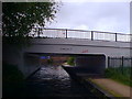
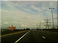
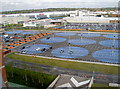
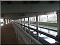
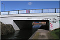
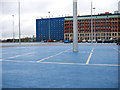
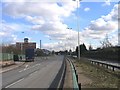
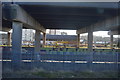
60 photos from this area
Area Information
Key information about the B24 9NU including its size, population, and administrative classification.
- Area Type
- Postcode
- Area Size
- 1.0 hectares
- Population
- 1615
- Population Density
- 844 people/km²
House Prices in B24 9NU
29
Properties
£116,338
Average Sold Price
£77,950
Lowest Price
£190,000
Highest Price
Showing 29 properties
| Address | Type | Beds | Baths | Last Sale Price | Last Sale Date | |
|---|---|---|---|---|---|---|
| 790 Tyburn Road, Birmingham, B24 9NU | house | - | - | £190,000 | Jan 2021 | |
| 788 Tyburn Road, Birmingham, B24 9NU | Terraced | 3 | 1 | £118,500 | Oct 2018 | |
| 810 Tyburn Road, Birmingham, B24 9NU | house | - | - | £136,500 | Jun 2017 | |
| 792 Tyburn Road, Birmingham, B24 9NU | house | - | - | £120,000 | Oct 2016 | |
| 776 Tyburn Road, Birmingham, B24 9NU | Terraced | 3 | - | £123,500 | Nov 2015 | |
| 812 Tyburn Road, Birmingham, B24 9NU | Terraced | 3 | - | £81,000 | Jan 2013 | |
| 784 Tyburn Road, Birmingham, B24 9NU | Terraced | - | - | £125,000 | May 2007 | |
| 772 Tyburn Road, Birmingham, B24 9NU | house | - | - | £98,000 | Jan 2007 | |
| 774 Tyburn Road, Birmingham, B24 9NU | house | - | - | £109,000 | Nov 2006 | |
| 786 Tyburn Road, Birmingham, B24 9NU | Semi-detached | 3 | 1 | £119,995 | Feb 2006 |
Page 1 of 3
Energy Efficiency in B24 9NU
Amenities
Schools
| Rank | School | Type | Entry gender | Ages |
|---|
Explore more schools in this area
Go to Schools tabDemographics
Household Size
Family (3-5 people)
most common
Accommodation Type
Houses
most common
Tenure
49
majority
Ethnic Group
White
most common
Religion
N/A
most common
Household Composition
N/A
most common
Age
47
median
Adults (30-64 years)
most common
Household Deprivation
N/A
with no deprivation
NS-SEC
18
in Lower managerial occupations
Explore more demographic insights in this area
Go to Demographics tabPlanning
Planning Constraints
- Flood RiskPremium
- Ramsar Wetland SitesPremium
- Area of Outstanding Natural BeautyPremium
- Protected Nature ReservePremium
- Protected WoodlandPremium