Area Overview for B24 0TF
Photos of B24 0TF
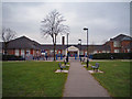
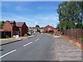
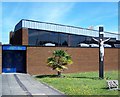
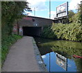
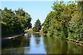
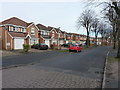
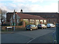
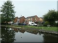
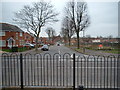
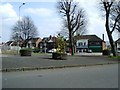
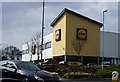
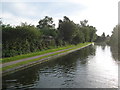
31 photos from this area
Area Information
Key information about the B24 0TF including its size, population, and administrative classification.
- Area Type
- Postcode
- Area Size
- 9325 m²
- Population
- 2112
- Population Density
- 4157 people/km²
House Prices in B24 0TF
31
Properties
£178,590
Average Sold Price
£3,000
Lowest Price
£328,000
Highest Price
Showing 31 properties
| Address | Type | Beds | Baths | Last Sale Price | Last Sale Date | |
|---|---|---|---|---|---|---|
| 1155 Tyburn Road, Birmingham, B24 0TF | Terraced | 3 | 1 | £235,000 | Dec 2024 | |
| 1123 Tyburn Road, Birmingham, B24 0TF | Detached | 4 | 2 | £328,000 | Feb 2024 | |
| 1145 Tyburn Road, Birmingham, B24 0TF | Detached | 5 | 2 | £320,000 | Nov 2022 | |
| 1153 Tyburn Road, Birmingham, B24 0TF | house | - | - | £230,000 | Jun 2022 | |
| 1151 Tyburn Road, Birmingham, B24 0TF | Terraced | 3 | 1 | £202,500 | Oct 2020 | |
| 1139 Tyburn Road, Birmingham, B24 0TF | Terraced | 2 | 1 | £158,000 | Sep 2019 | |
| 1147 Tyburn Road, Birmingham, B24 0TF | Detached | 4 | 1 | £250,000 | Dec 2018 | |
| 1117 Tyburn Road, Birmingham, B24 0TF | Detached | 4 | 2 | £260,000 | Apr 2018 | |
| 1141 Tyburn Road, Birmingham, B24 0TF | Detached | 3 | 1 | £3,000 | Aug 2017 | |
| 1115 Tyburn Road, Birmingham, B24 0TF | Detached | 4 | 2 | £217,000 | Jan 2016 |
Page 1 of 4
Energy Efficiency in B24 0TF
Amenities
Schools
| Rank | School | Type | Entry gender | Ages |
|---|
Explore more schools in this area
Go to Schools tabDemographics
Household Size
One person
most common
Accommodation Type
Houses
most common
Tenure
44
majority
Ethnic Group
White
most common
Religion
N/A
most common
Household Composition
N/A
most common
Age
47
median
Adults (30-64 years)
most common
Household Deprivation
N/A
with no deprivation
NS-SEC
22
in Lower managerial occupations
Explore more demographic insights in this area
Go to Demographics tabPlanning
Planning Constraints
- Flood RiskPremium
- Ramsar Wetland SitesPremium
- Area of Outstanding Natural BeautyPremium
- Protected Nature ReservePremium
- Protected WoodlandPremium