Area Overview for B24 0RW
Photos of B24 0RW
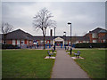
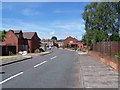
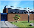
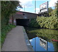
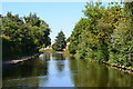
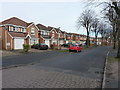
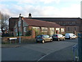
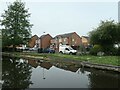
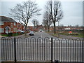
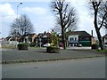
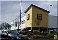
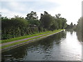
31 photos from this area
Area Information
Key information about the B24 0RW including its size, population, and administrative classification.
- Area Type
- Postcode
- Area Size
- 2.2 hectares
- Population
- 1934
- Population Density
- 2888 people/km²
House Prices in B24 0RW
30
Properties
£108,442
Average Sold Price
£1,412
Lowest Price
£255,000
Highest Price
Showing 30 properties
| Address | Type | Beds | Baths | Last Sale Price | Last Sale Date | |
|---|---|---|---|---|---|---|
| 41 Kimble Grove, Birmingham, B24 0RW | Terraced | 2 | 2 | £205,000 | Oct 2024 | |
| 23 Kimble Grove, Birmingham, B24 0RW | Bungalow | 2 | 1 | £112,500 | Jun 2024 | |
| 39 Kimble Grove, Birmingham, B24 0RW | house | - | - | £1,412 | Mar 2022 | |
| 14 Kimble Grove, Birmingham, B24 0RW | house | - | - | £255,000 | Sep 2020 | |
| 29 Kimble Grove, Birmingham, B24 0RW | Flat | 2 | 1 | £50,000 | Jul 2019 | |
| 25 Kimble Grove, Birmingham, B24 0RW | Flat | 2 | 1 | £53,000 | Jan 2019 | |
| 37 Kimble Grove, Birmingham, B24 0RW | Semi-detached | 3 | 1 | £170,300 | Mar 2018 | |
| 31 Kimble Grove, Birmingham, B24 0RW | Flat | 2 | - | £45,000 | Jun 2017 | |
| 21 Kimble Grove, Birmingham, B24 0RW | Semi-detached | 2 | 1 | £120,000 | Apr 2017 | |
| 26 Kimble Grove, Birmingham, B24 0RW | house | - | - | £194,500 | Sep 2015 |
Page 1 of 3
Energy Efficiency in B24 0RW
Amenities
Schools
| Rank | School | Type | Entry gender | Ages |
|---|
Explore more schools in this area
Go to Schools tabDemographics
Household Size
One person
most common
Accommodation Type
Houses
most common
Tenure
52
majority
Ethnic Group
White
most common
Religion
N/A
most common
Household Composition
N/A
most common
Age
47
median
Adults (30-64 years)
most common
Household Deprivation
N/A
with no deprivation
NS-SEC
27
in Lower managerial occupations
Explore more demographic insights in this area
Go to Demographics tabPlanning
Planning Constraints
- Flood RiskPremium
- Ramsar Wetland SitesPremium
- Area of Outstanding Natural BeautyPremium
- Protected Nature ReservePremium
- Protected WoodlandPremium