Area Overview for B23 7LL
Photos of B23 7LL

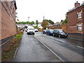
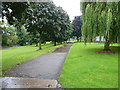
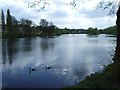
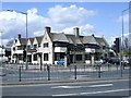
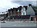
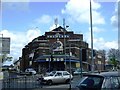
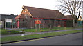
26 photos from this area
Area Information
Key information about the B23 7LL including its size, population, and administrative classification.
- Area Type
- Postcode
- Area Size
- 8261 m²
- Population
- 1788
- Population Density
- 8018 people/km²
House Prices in B23 7LL
35
Properties
£158,975
Average Sold Price
£64,000
Lowest Price
£450,000
Highest Price
Showing 35 properties
| Address | Type | Beds | Baths | Last Sale Price | Last Sale Date | |
|---|---|---|---|---|---|---|
| 55 Mere Road, Birmingham, B23 7LL | Terraced | 4 | 1 | £450,000 | Aug 2025 | |
| 51 Mere Road, Birmingham, B23 7LL | Terraced | 3 | 1 | £235,000 | Aug 2023 | |
| 73 Mere Road, Birmingham, B23 7LL | Terraced | 4 | 1 | £260,000 | Aug 2023 | |
| 69 Mere Road, Birmingham, B23 7LL | Terraced | 4 | 1 | £194,000 | Feb 2021 | |
| 53 Mere Road, Birmingham, B23 7LL | house | 4 | - | £205,000 | Jan 2021 | |
| 84 Mere Road, Birmingham, B23 7LL | Semi-detached | 3 | 1 | £147,000 | Oct 2019 | |
| 65 Mere Road, Birmingham, B23 7LL | Terraced | 3 | 1 | £160,000 | Aug 2019 | |
| 90 Mere Road, Birmingham, B23 7LL | Terraced | 3 | 1 | £135,000 | Jul 2017 | |
| 80 Mere Road, Birmingham, B23 7LL | Semi-detached | 3 | - | £85,000 | Jul 2016 | |
| 81 Mere Road, Birmingham, B23 7LL | Terraced | 1 | 1 | £151,000 | Dec 2015 |
Page 1 of 4
Energy Efficiency in B23 7LL
Amenities
Schools
| Rank | School | Type | Entry gender | Ages |
|---|
Explore more schools in this area
Go to Schools tabDemographics
Household Size
Family (3-5 people)
most common
Accommodation Type
Houses
most common
Tenure
48
majority
Ethnic Group
White
most common
Religion
N/A
most common
Household Composition
N/A
most common
Age
47
median
Adults (30-64 years)
most common
Household Deprivation
N/A
with no deprivation
NS-SEC
16
in Lower managerial occupations
Explore more demographic insights in this area
Go to Demographics tabPlanning
Planning Constraints
- Flood RiskPremium
- Ramsar Wetland SitesPremium
- Area of Outstanding Natural BeautyPremium
- Protected Nature ReservePremium
- Protected WoodlandPremium