Area Overview for B23 6HE
Photos of B23 6HE
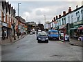
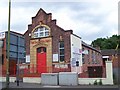
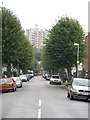
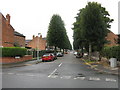
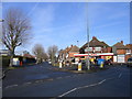
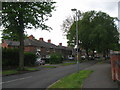
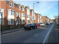
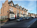
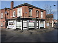
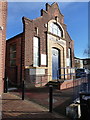
51 photos from this area
Area Information
Key information about the B23 6HE including its size, population, and administrative classification.
- Area Type
- Postcode
- Area Size
- 8124 m²
- Population
- 1777
- Population Density
- 6886 people/km²
House Prices in B23 6HE
31
Properties
£95,389
Average Sold Price
£29,500
Lowest Price
£235,000
Highest Price
Showing 31 properties
| Address | Type | Beds | Baths | Last Sale Price | Last Sale Date | |
|---|---|---|---|---|---|---|
| 47 Low Wood Road, Birmingham, B23 6HE | Retail | 3 | 1 | £235,000 | Oct 2022 | |
| 55 Low Wood Road, Birmingham, B23 6HE | house | - | - | £91,000 | Apr 2021 | |
| 25 Low Wood Road, Birmingham, B23 6HE | Terraced | 3 | 1 | £125,000 | Jan 2018 | |
| 19 Low Wood Road, Birmingham, B23 6HE | Terraced | 3 | 1 | £120,000 | Feb 2016 | |
| 43 Low Wood Road, Birmingham, B23 6HE | Terraced | 3 | - | £80,000 | Aug 2014 | |
| 3 Low Wood Road, Birmingham, B23 6HE | house | - | - | £125,000 | Jul 2007 | |
| 33 Low Wood Road, Birmingham, B23 6HE | Terraced | - | - | £99,500 | Mar 2006 | |
| 51 Low Wood Road, Birmingham, B23 6HE | house | - | - | £118,000 | Sep 2005 | |
| 57 Low Wood Road, Birmingham, B23 6HE | house | 3 | - | £95,000 | Jul 2004 | |
| 17 Low Wood Road, Birmingham, B23 6HE | Terraced | 3 | 1 | £85,000 | Feb 2003 |
Page 1 of 4
Energy Efficiency in B23 6HE
Amenities
Schools
| Rank | School | Type | Entry gender | Ages |
|---|
Explore more schools in this area
Go to Schools tabDemographics
Household Size
Family (3-5 people)
most common
Accommodation Type
Houses
most common
Tenure
57
majority
Ethnic Group
White
most common
Religion
N/A
most common
Household Composition
N/A
most common
Age
47
median
Adults (30-64 years)
most common
Household Deprivation
N/A
with no deprivation
NS-SEC
16
in Lower managerial occupations
Explore more demographic insights in this area
Go to Demographics tabPlanning
Planning Constraints
- Flood RiskPremium
- Ramsar Wetland SitesPremium
- Area of Outstanding Natural BeautyPremium
- Protected Nature ReservePremium
- Protected WoodlandPremium