Area Overview for B23 6EZ
Photos of B23 6EZ
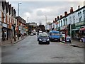

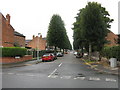
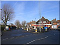
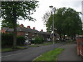
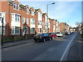
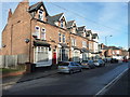
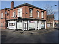
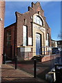
51 photos from this area
Area Information
Key information about the B23 6EZ including its size, population, and administrative classification.
- Area Type
- Postcode
- Area Size
- 6996 m²
- Population
- 1487
- Population Density
- 5459 people/km²
House Prices in B23 6EZ
22
Properties
£145,019
Average Sold Price
£46,500
Lowest Price
£257,000
Highest Price
Showing 22 properties
| Address | Type | Beds | Baths | Last Sale Price | Last Sale Date | |
|---|---|---|---|---|---|---|
| 73 Milverton Road, Birmingham, B23 6EZ | Semi-detached | 3 | 1 | £257,000 | Oct 2024 | |
| 69 Milverton Road, Birmingham, B23 6EZ | Semi-detached | 3 | 1 | £225,000 | Jun 2019 | |
| 79 Milverton Road, Birmingham, B23 6EZ | Semi-detached | 3 | 1 | £144,000 | Aug 2016 | |
| 77 Milverton Road, Birmingham, B23 6EZ | Semi-detached | 3 | - | £150,000 | Mar 2016 | |
| 67 Milverton Road, Birmingham, B23 6EZ | Semi-detached | 3 | 1 | £150,000 | Dec 2015 | |
| 87 Milverton Road, Birmingham, B23 6EZ | Semi-detached | 3 | - | £155,000 | Aug 2015 | |
| 63 Milverton Road, Birmingham, B23 6EZ | house | - | - | £158,250 | Apr 2015 | |
| 59 Milverton Road, Birmingham, B23 6EZ | Semi-detached | 3 | 1 | £142,000 | Jul 2009 | |
| 81 Milverton Road, Birmingham, B23 6EZ | Terraced | - | - | £154,500 | Jul 2007 | |
| 75 Milverton Road, Birmingham, B23 6EZ | Semi-detached | - | - | £155,000 | Aug 2006 |
Page 1 of 3
Energy Efficiency in B23 6EZ
Amenities
Schools
| Rank | School | Type | Entry gender | Ages |
|---|
Explore more schools in this area
Go to Schools tabDemographics
Household Size
One person
most common
Accommodation Type
Houses
most common
Tenure
60
majority
Ethnic Group
White
most common
Religion
N/A
most common
Household Composition
N/A
most common
Age
47
median
Adults (30-64 years)
most common
Household Deprivation
N/A
with no deprivation
NS-SEC
20
in Lower managerial occupations
Explore more demographic insights in this area
Go to Demographics tabPlanning
Planning Constraints
- Flood RiskPremium
- Ramsar Wetland SitesPremium
- Area of Outstanding Natural BeautyPremium
- Protected Nature ReservePremium
- Protected WoodlandPremium