Area Overview for B23 6EQ
Photos of B23 6EQ
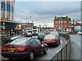
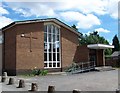
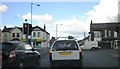
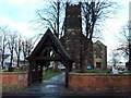
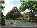
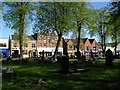
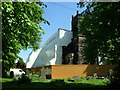

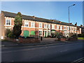
62 photos from this area
Area Information
Key information about the B23 6EQ including its size, population, and administrative classification.
- Area Type
- Postcode
- Area Size
- 1894 m²
- Population
- Not available
- Population Density
- Not available
House Prices in B23 6EQ
9
Properties
£98,781
Average Sold Price
£36,000
Lowest Price
£180,000
Highest Price
Showing 9 properties
| Address | Type | Beds | Baths | Last Sale Price | Last Sale Date | |
|---|---|---|---|---|---|---|
| 6 Clifton Terrace, Birmingham, B23 6EQ | Terraced | 3 | 1 | £180,000 | Aug 2023 | |
| 4 Clifton Terrace, Birmingham, B23 6EQ | Terraced | 2 | 2 | £170,000 | Mar 2022 | |
| 12 Clifton Terrace, Birmingham, B23 6EQ | house | 2 | - | £60,000 | Feb 2011 | |
| 16 Clifton Terrace, Birmingham, B23 6EQ | Terraced | 2 | 1 | £100,000 | Sep 2010 | |
| 8 Clifton Terrace, Birmingham, B23 6EQ | Terraced | 2 | 1 | £107,300 | Aug 2008 | |
| 10 Clifton Terrace, Birmingham, B23 6EQ | Terraced | 2 | - | £99,000 | Mar 2006 | |
| 18 Clifton Terrace, Birmingham, B23 6EQ | Terraced | - | - | £36,000 | Nov 1998 | |
| 20 Clifton Terrace, Birmingham, B23 6EQ | Terraced | - | - | £37,950 | Nov 1995 | |
| 14 Clifton Terrace, Birmingham, B23 6EQ | Terraced | - | - | - | - |
Energy Efficiency in B23 6EQ
Amenities
Schools
| Rank | School | Type | Entry gender | Ages |
|---|
Explore more schools in this area
Go to Schools tabDemographics
Household Size
Family (3-5 people)
most common
Accommodation Type
Houses
most common
Tenure
52
majority
Ethnic Group
White
most common
Religion
N/A
most common
Household Composition
N/A
most common
Age
47
median
Adults (30-64 years)
most common
Household Deprivation
N/A
with no deprivation
NS-SEC
22
in Lower managerial occupations
Explore more demographic insights in this area
Go to Demographics tabPlanning
Planning Constraints
- Flood RiskPremium
- Ramsar Wetland SitesPremium
- Area of Outstanding Natural BeautyPremium
- Protected Nature ReservePremium
- Protected WoodlandPremium