Area Overview for B23 6BE
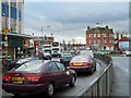
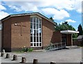
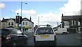
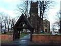
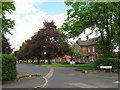
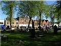
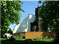
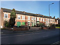
Photos of B23 6BE

Area Information
Living in B23 6BE means inhabiting a small, defined postcode area within Gravelly Hill, a historically significant inner-city ward of Birmingham. With a population of 2,017, the area is compact, bounded by nearby suburbs like Erdington and Stockland Green. Its character is shaped by Victorian and pre-war housing, alongside newer developments, creating a mix of architectural styles. The area’s proximity to Aston University makes it a draw for students, with transport links facilitating daily commutes. Gravelly Hill’s history as part of Birmingham’s industrial-era expansion is evident in its infrastructure, though modern amenities like retail parks and railway stations now define daily life. Residents benefit from a blend of traditional and contemporary living, with the area’s small size fostering a tight-knit community feel. However, the postcode’s limited population and specific boundaries mean it is distinct from the broader ward, offering a focused, manageable environment for those seeking a quieter urban existence.
- Area Type
- Postcode
- Area Size
- Not available
- Population
- 2017
- Population Density
- 5738 people/km²
The property market in B23 6BE is characterised by a 47% home ownership rate, indicating that nearly half of the housing stock is rented. The area is predominantly composed of houses, which may appeal to families or individuals seeking more space than flats. Given the small size of the postcode area, the housing stock is likely limited, with properties concentrated in a compact cluster. The mix of older Victorian and pre-war homes, alongside newer developments, suggests a range of property types, though the exact proportion of modern versus traditional housing is not specified. For buyers, this means a focus on individual houses rather than high-density living. The proximity to Aston University may also influence the rental market, with potential demand from students. However, the limited size of the area means buyers must consider nearby suburbs for broader options.
House Prices in B23 6BE
No properties found in this postcode.
Energy Efficiency in B23 6BE
The lifestyle in B23 6BE is supported by nearby amenities within practical reach. Retail options include major stores like Tesco Erdington, Farmfoods Erdington, and Iceland Erdington, offering convenience for daily shopping. The area’s rail and metro stations—Erdington Railway Station, Gravelly Hill Railway Station, and Chester Road Railway Station—provide access to public transport, while metro stops like St Chads, St Paul’s, and Bull Street add to the connectivity. Though parks or leisure facilities are not specified in the data, the presence of retail and transport hubs indicates a functional environment for residents. The compact nature of the postcode means amenities are concentrated, reducing the need for long commutes. This balance of retail, transport, and proximity to educational institutions shapes a practical, accessible lifestyle for those prioritising convenience over expansive leisure options.
Amenities
Schools
The nearest schools to B23 6BE include Queensbury School, listed twice in the data as a special school. No Ofsted ratings are provided, so the quality of education cannot be assessed here. The presence of two special schools suggests a focus on supporting students with specific educational needs, though the absence of mainstream schools like primary or secondary institutions is notable. Families requiring mainstream education may need to look further afield, potentially increasing travel time. The school mix reflects a local emphasis on specialist provision, which may be suitable for those with children requiring tailored support. However, the lack of detailed information on school performance or diversity in educational options leaves gaps in understanding the full range of opportunities for residents.
| Rank | School | Type | Entry gender | Ages |
|---|
Explore more schools in this area
Go to Schools tabDemographics
The demographic profile of B23 6BE reflects a mature population, with a median age of 47 and the majority of residents falling within the 30–64 age range. Home ownership rates stand at 47%, suggesting a mix of owner-occupied properties and rental units. The area is predominantly composed of houses, aligning with a household structure that may include families or individuals seeking more space. The predominant ethnic group is White, though no data on diversity beyond this is provided. The age distribution indicates a community that is neither heavily skewed toward younger professionals nor retirees, but rather a settled population with established roots. This balance may influence local services and amenities, which cater to middle-aged adults and their specific needs. The absence of detailed deprivation data means the area’s quality of life remains unquantified, but the demographic stability suggests a relatively consistent standard of living.
Household Size
Accommodation Type
Tenure
Ethnic Group
Religion
Household Composition
Age
Household Deprivation
NS-SEC
Explore more demographic insights in this area
Go to Demographics tabPlanning
Planning Constraints
- Flood RiskPremium
- Ramsar Wetland SitesPremium
- Area of Outstanding Natural BeautyPremium
- Protected Nature ReservePremium
- Protected WoodlandPremium