Area Overview for B23 5LH
Photos of B23 5LH
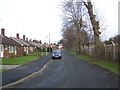
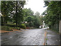
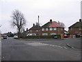
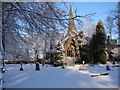
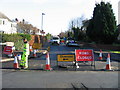
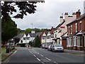
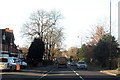
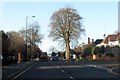
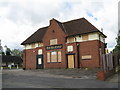
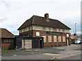
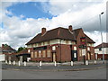
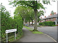
49 photos from this area
Area Information
Key information about the B23 5LH including its size, population, and administrative classification.
- Area Type
- Postcode
- Area Size
- 9033 m²
- Population
- 1578
- Population Density
- 7259 people/km²
House Prices in B23 5LH
22
Properties
£102,250
Average Sold Price
£45,000
Lowest Price
£204,000
Highest Price
Showing 22 properties
| Address | Type | Beds | Baths | Last Sale Price | Last Sale Date | |
|---|---|---|---|---|---|---|
| 379 Witton Lodge Road, Birmingham, B23 5LH | house | - | - | £204,000 | May 2023 | |
| 367 Witton Lodge Road, Birmingham, B23 5LH | Semi-detached | 3 | 1 | £150,000 | Sep 2018 | |
| 339 Witton Lodge Road, Birmingham, B23 5LH | Semi-detached | 3 | - | £131,000 | Nov 2016 | |
| 335 Witton Lodge Road, Birmingham, B23 5LH | Semi-detached | 3 | 1 | £121,000 | Oct 2016 | |
| 377 Witton Lodge Road, Birmingham, B23 5LH | house | - | - | £124,500 | Aug 2015 | |
| 355 Witton Lodge Road, Birmingham, B23 5LH | house | 3 | - | £79,000 | Apr 2012 | |
| 365 Witton Lodge Road, Birmingham, B23 5LH | Terraced | - | - | £65,000 | May 2009 | |
| 361 Witton Lodge Road, Birmingham, B23 5LH | Semi-detached | - | - | £54,500 | May 2002 | |
| 333 Witton Lodge Road, Birmingham, B23 5LH | Terraced | 3 | 2 | £45,000 | Jun 2000 | |
| 363 Witton Lodge Road, Birmingham, B23 5LH | Terraced | - | - | £48,500 | May 1999 |
Page 1 of 3
Energy Efficiency in B23 5LH
Amenities
Schools
| Rank | School | Type | Entry gender | Ages |
|---|
Explore more schools in this area
Go to Schools tabDemographics
Household Size
Family (3-5 people)
most common
Accommodation Type
Houses
most common
Tenure
53
majority
Ethnic Group
White
most common
Religion
N/A
most common
Household Composition
N/A
most common
Age
47
median
Adults (30-64 years)
most common
Household Deprivation
N/A
with no deprivation
NS-SEC
19
in Lower managerial occupations
Explore more demographic insights in this area
Go to Demographics tabPlanning
Planning Constraints
- Flood RiskPremium
- Ramsar Wetland SitesPremium
- Area of Outstanding Natural BeautyPremium
- Protected Nature ReservePremium
- Protected WoodlandPremium