Area Overview for B21 8AH
Photos of B21 8AH
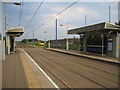
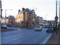

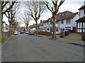
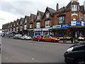
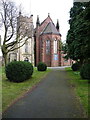
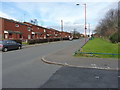
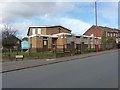

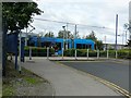
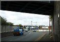
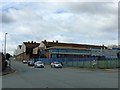
43 photos from this area
Area Information
Key information about the B21 8AH including its size, population, and administrative classification.
- Area Type
- Postcode
- Area Size
- 2.0 hectares
- Population
- 2066
- Population Density
- 6778 people/km²
House Prices in B21 8AH
69
Properties
£76,413
Average Sold Price
£12,000
Lowest Price
£180,000
Highest Price
Showing 69 properties
| Address | Type | Beds | Baths | Last Sale Price | Last Sale Date | |
|---|---|---|---|---|---|---|
| 16 Hamilton Road, Birmingham, B21 8AH | Terraced | 3 | 1 | £180,000 | Apr 2024 | |
| 14 Hamilton Road, Birmingham, B21 8AH | house | - | - | £110,000 | Jul 2022 | |
| 46 Hamilton Road, Birmingham, B21 8AH | Terraced | 2 | 1 | £103,000 | Nov 2019 | |
| 130 Hamilton Road, Birmingham, B21 8AH | Terraced | 2 | 1 | £108,000 | Feb 2019 | |
| 104 Hamilton Road, Birmingham, B21 8AH | Terraced | 3 | 1 | £95,000 | Aug 2017 | |
| 140 Hamilton Road, Birmingham, B21 8AH | house | - | - | £79,500 | Jan 2017 | |
| 118 Hamilton Road, Birmingham, B21 8AH | Terraced | 3 | - | £97,000 | Oct 2016 | |
| 44 Hamilton Road, Birmingham, B21 8AH | Terraced | 3 | 1 | £106,500 | May 2016 | |
| 48 Hamilton Road, Birmingham, B21 8AH | Terraced | 2 | 1 | £76,000 | Mar 2016 | |
| 24 Hamilton Road, Birmingham, B21 8AH | house | 3 | 1 | £70,000 | Mar 2015 |
Page 1 of 7
Energy Efficiency in B21 8AH
Amenities
Schools
| Rank | School | Type | Entry gender | Ages |
|---|
Explore more schools in this area
Go to Schools tabDemographics
Household Size
Family (3-5 people)
most common
Accommodation Type
Houses
most common
Tenure
42
majority
Ethnic Group
asian_total
most common
Religion
N/A
most common
Household Composition
N/A
most common
Age
47
median
Adults (30-64 years)
most common
Household Deprivation
N/A
with no deprivation
NS-SEC
16
in Lower managerial occupations
Explore more demographic insights in this area
Go to Demographics tabPlanning
Planning Constraints
- Flood RiskPremium
- Ramsar Wetland SitesPremium
- Area of Outstanding Natural BeautyPremium
- Protected Nature ReservePremium
- Protected WoodlandPremium