Area Overview for B21 0UR
Photos of B21 0UR
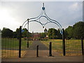
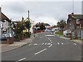
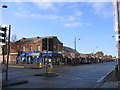
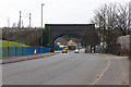
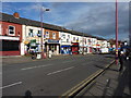
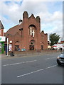
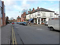
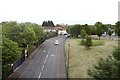
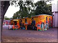
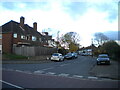
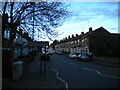

55 photos from this area
Area Information
Key information about the B21 0UR including its size, population, and administrative classification.
- Area Type
- Postcode
- Area Size
- 8054 m²
- Population
- 2067
- Population Density
- 7756 people/km²
House Prices in B21 0UR
36
Properties
£80,664
Average Sold Price
£14,000
Lowest Price
£165,000
Highest Price
Showing 36 properties
| Address | Type | Beds | Baths | Last Sale Price | Last Sale Date | |
|---|---|---|---|---|---|---|
| 50 Grasmere Road, Birmingham, B21 0UR | Detached | 2 | 1 | £133,000 | May 2025 | |
| 56 Grasmere Road, Birmingham, B21 0UR | Terraced | 3 | 1 | £165,000 | Sep 2024 | |
| 10 Grasmere Road, Birmingham, B21 0UR | Terraced | 3 | 1 | £110,000 | Oct 2019 | |
| 38 Grasmere Road, Birmingham, B21 0UR | Terraced | 3 | 1 | £122,000 | Mar 2019 | |
| 4 Grasmere Road, Birmingham, B21 0UR | Terraced | 2 | 1 | £91,000 | May 2018 | |
| 52 Grasmere Road, Birmingham, B21 0UR | Flat | - | - | £35,000 | Apr 2015 | |
| 14 Grasmere Road, Birmingham, B21 0UR | Terraced | 2 | 1 | £71,500 | Jan 2015 | |
| 30 Grasmere Road, Birmingham, B21 0UR | house | - | - | £69,000 | Oct 2014 | |
| 68 Grasmere Road, Birmingham, B21 0UR | house | 3 | - | £100,000 | Sep 2014 | |
| 62 Grasmere Road, Birmingham, B21 0UR | Terraced | - | - | £40,617 | Jan 2010 |
Page 1 of 4
Energy Efficiency in B21 0UR
Amenities
Schools
| Rank | School | Type | Entry gender | Ages |
|---|
Explore more schools in this area
Go to Schools tabDemographics
Household Size
Family (3-5 people)
most common
Accommodation Type
Houses
most common
Tenure
31
majority
Ethnic Group
asian_total
most common
Religion
N/A
most common
Household Composition
N/A
most common
Age
47
median
Adults (30-64 years)
most common
Household Deprivation
N/A
with no deprivation
NS-SEC
9
in Lower managerial occupations
Explore more demographic insights in this area
Go to Demographics tabPlanning
Planning Constraints
- Flood RiskPremium
- Ramsar Wetland SitesPremium
- Area of Outstanding Natural BeautyPremium
- Protected Nature ReservePremium
- Protected WoodlandPremium