Area Overview for B21 0TW
Photos of B21 0TW
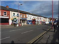
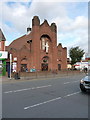
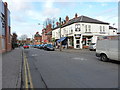
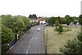
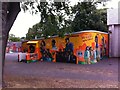
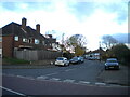
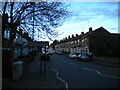

55 photos from this area
Area Information
Key information about the B21 0TW including its size, population, and administrative classification.
- Area Type
- Postcode
- Area Size
- 4618 m²
- Population
- 1600
- Population Density
- 6981 people/km²
House Prices in B21 0TW
15
Properties
£111,090
Average Sold Price
£55,000
Lowest Price
£180,000
Highest Price
Showing 15 properties
| Address | Type | Beds | Baths | Last Sale Price | Last Sale Date | |
|---|---|---|---|---|---|---|
| 64 Reynolds Road, Birmingham, B21 0TW | house | - | - | £180,000 | Jan 2022 | |
| 44 Reynolds Road, Birmingham, B21 0TW | house | - | - | £110,000 | Mar 2014 | |
| 42 Reynolds Road, Birmingham, B21 0TW | house | - | - | £120,000 | Nov 2005 | |
| 40 Reynolds Road, Birmingham, B21 0TW | house | 3 | 1 | £90,450 | Jul 2004 | |
| 38 Reynolds Road, Birmingham, B21 0TW | Semi-detached | - | - | £55,000 | Jan 1998 | |
| 36 Reynolds Road, Birmingham, B21 0TW | Semi-detached | - | - | - | - | |
| 60 Reynolds Road, Birmingham, B21 0TW | Semi-detached | - | - | - | - | |
| 52 Reynolds Road, Birmingham, B21 0TW | Semi-detached | - | - | - | - | |
| 50 Reynolds Road, Birmingham, B21 0TW | Semi-detached | - | - | - | - | |
| 54 Reynolds Road, Birmingham, B21 0TW | Semi-detached | - | - | - | - |
Page 1 of 2
Energy Efficiency in B21 0TW
Amenities
Schools
| Rank | School | Type | Entry gender | Ages |
|---|
Explore more schools in this area
Go to Schools tabDemographics
Household Size
Family (3-5 people)
most common
Accommodation Type
Houses
most common
Tenure
43
majority
Ethnic Group
asian_total
most common
Religion
N/A
most common
Household Composition
N/A
most common
Age
47
median
Adults (30-64 years)
most common
Household Deprivation
N/A
with no deprivation
NS-SEC
13
in Lower managerial occupations
Explore more demographic insights in this area
Go to Demographics tabPlanning
Planning Constraints
- Flood RiskPremium
- Ramsar Wetland SitesPremium
- Area of Outstanding Natural BeautyPremium
- Protected Nature ReservePremium
- Protected WoodlandPremium