Area Overview for B21 0TB
Photos of B21 0TB
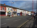
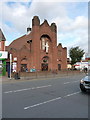
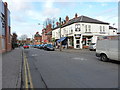
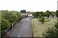
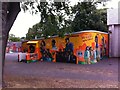
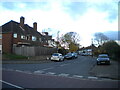
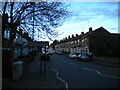

55 photos from this area
Area Information
Key information about the B21 0TB including its size, population, and administrative classification.
- Area Type
- Postcode
- Area Size
- 6582 m²
- Population
- 2067
- Population Density
- 7756 people/km²
House Prices in B21 0TB
45
Properties
£77,549
Average Sold Price
£19,822
Lowest Price
£135,000
Highest Price
Showing 45 properties
| Address | Type | Beds | Baths | Last Sale Price | Last Sale Date | |
|---|---|---|---|---|---|---|
| 184 Nineveh Road, Birmingham, B21 0TB | house | 3 | - | £120,000 | Oct 2019 | |
| 248 Nineveh Road, Birmingham, B21 0TB | house | 3 | 1 | £120,000 | Apr 2019 | |
| 246 Nineveh Road, Birmingham, B21 0TB | Terraced | 5 | 1 | £135,000 | Oct 2017 | |
| 208 Nineveh Road, Birmingham, B21 0TB | house | 2 | 1 | £110,000 | Sep 2017 | |
| 180 Nineveh Road, Birmingham, B21 0TB | Terraced | 3 | 1 | £83,000 | Nov 2016 | |
| 196 Nineveh Road, Birmingham, B21 0TB | house | 3 | - | £90,000 | Sep 2015 | |
| 240 Nineveh Road, Birmingham, B21 0TB | Terraced | 3 | 1 | £43,000 | Jan 2015 | |
| 242 Nineveh Road, Birmingham, B21 0TB | house | - | - | £88,600 | Jul 2013 | |
| 234 Nineveh Road, Birmingham, B21 0TB | Terraced | 3 | - | £74,000 | Nov 2012 | |
| 210 Nineveh Road, Birmingham, B21 0TB | Terraced | 3 | 1 | £89,000 | Aug 2007 |
Page 1 of 5
Energy Efficiency in B21 0TB
Amenities
Schools
| Rank | School | Type | Entry gender | Ages |
|---|
Explore more schools in this area
Go to Schools tabDemographics
Household Size
Family (3-5 people)
most common
Accommodation Type
Houses
most common
Tenure
31
majority
Ethnic Group
asian_total
most common
Religion
N/A
most common
Household Composition
N/A
most common
Age
47
median
Adults (30-64 years)
most common
Household Deprivation
N/A
with no deprivation
NS-SEC
9
in Lower managerial occupations
Explore more demographic insights in this area
Go to Demographics tabPlanning
Planning Constraints
- Flood RiskPremium
- Ramsar Wetland SitesPremium
- Area of Outstanding Natural BeautyPremium
- Protected Nature ReservePremium
- Protected WoodlandPremium