Area Overview for B21 0AP
Photos of B21 0AP
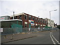
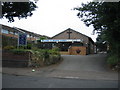
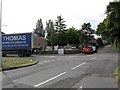
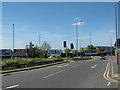
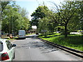
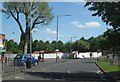
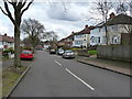
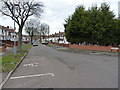
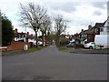
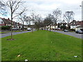
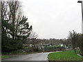
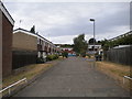
23 photos from this area
Area Information
Key information about the B21 0AP including its size, population, and administrative classification.
- Area Type
- Postcode
- Area Size
- 2.0 hectares
- Population
- Not available
- Population Density
- Not available
House Prices in B21 0AP
15
Properties
£86,086
Average Sold Price
£29,950
Lowest Price
£203,000
Highest Price
Showing 15 properties
| Address | Type | Beds | Baths | Last Sale Price | Last Sale Date | |
|---|---|---|---|---|---|---|
| 273 Holyhead Road, Birmingham, B21 0AP | house | - | - | £203,000 | Mar 2022 | |
| 269 Holyhead Road, Birmingham, B21 0AP | house | - | - | £114,000 | Feb 2019 | |
| 231 Holyhead Road, Birmingham, B21 0AP | house | - | - | £50,000 | Apr 2018 | |
| 279 Holyhead Road, Birmingham, B21 0AP | house | - | - | £124,995 | Feb 2008 | |
| 277 Holyhead Road, Birmingham, B21 0AP | house | - | - | £100,000 | Jun 2007 | |
| 227 Holyhead Road, Birmingham, B21 0AP | Semi-detached | - | - | £82,500 | Apr 2006 | |
| 267 Holyhead Road, Birmingham, B21 0AP | Terraced | 1 | 2 | £68,500 | Jul 2005 | |
| 271 Holyhead Road, Birmingham, B21 0AP | Terraced | 3 | 1 | £87,000 | Aug 2003 | |
| 233 Holyhead Road, Birmingham, B21 0AP | house | - | - | £35,000 | Jul 2003 | |
| 229 Holyhead Road, Birmingham, B21 0AP | Terraced | - | - | £29,950 | Sep 2001 |
Page 1 of 2
Energy Efficiency in B21 0AP
Amenities
Schools
| Rank | School | Type | Entry gender | Ages |
|---|
Explore more schools in this area
Go to Schools tabDemographics
Household Size
Family (3-5 people)
most common
Accommodation Type
Houses
most common
Tenure
36
majority
Ethnic Group
asian_total
most common
Religion
N/A
most common
Household Composition
N/A
most common
Age
47
median
Adults (30-64 years)
most common
Household Deprivation
N/A
with no deprivation
NS-SEC
10
in Lower managerial occupations
Explore more demographic insights in this area
Go to Demographics tabPlanning
Planning Constraints
- Flood RiskPremium
- Ramsar Wetland SitesPremium
- Area of Outstanding Natural BeautyPremium
- Protected Nature ReservePremium
- Protected WoodlandPremium