Area Overview for B20 3SR
Photos of B20 3SR
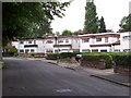

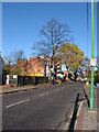
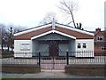
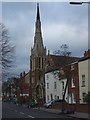
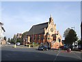
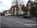
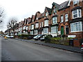

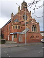
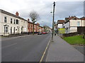
70 photos from this area
Area Information
Key information about the B20 3SR including its size, population, and administrative classification.
- Area Type
- Postcode
- Area Size
- 1.4 hectares
- Population
- 2048
- Population Density
- 8954 people/km²
House Prices in B20 3SR
87
Properties
£234,786
Average Sold Price
£30,000
Lowest Price
£415,000
Highest Price
Showing 87 properties
| Address | Type | Beds | Baths | Last Sale Price | Last Sale Date | |
|---|---|---|---|---|---|---|
| 20 Radnor Road, Birmingham, B20 3SR | Semi-detached | 6 | 3 | £415,000 | Mar 2025 | |
| 36 Radnor Road, Birmingham, B20 3SR | Flat | - | - | £270,000 | Jul 2019 | |
| 48 Radnor Road, Birmingham, B20 3SR | Semi-detached | 8 | 3 | £350,000 | Jan 2017 | |
| 30 Radnor Road, Birmingham, B20 3SR | house | 6 | - | £250,000 | Dec 2014 | |
| 4 Radnor Road, Birmingham, B20 3SR | Semi-detached | - | - | £245,000 | May 2009 | |
| 18 Radnor Road, Birmingham, B20 3SR | Detached | 1 | 2 | £83,500 | Feb 2001 | |
| 46 Radnor Road, Birmingham, B20 3SR | Unknown | - | - | £30,000 | Apr 1995 | |
| Flat 1, 16 Radnor Road, Birmingham, B20 3SR | Flat | - | - | - | - | |
| Flat 4, 16 Radnor Road, Birmingham, B20 3SR | Flat | - | - | - | - | |
| 4A Radnor Road, Birmingham, B20 3SR | Flat | - | - | - | - |
Page 1 of 9
Energy Efficiency in B20 3SR
Amenities
Schools
| Rank | School | Type | Entry gender | Ages |
|---|
Explore more schools in this area
Go to Schools tabDemographics
Household Size
One person
most common
Accommodation Type
Houses
most common
Tenure
32
majority
Ethnic Group
asian_total
most common
Religion
N/A
most common
Household Composition
N/A
most common
Age
47
median
Adults (30-64 years)
most common
Household Deprivation
N/A
with no deprivation
NS-SEC
13
in Lower managerial occupations
Explore more demographic insights in this area
Go to Demographics tabPlanning
Planning Constraints
- Flood RiskPremium
- Ramsar Wetland SitesPremium
- Area of Outstanding Natural BeautyPremium
- Protected Nature ReservePremium
- Protected WoodlandPremium