Area Overview for B20 3RS
Photos of B20 3RS
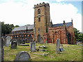
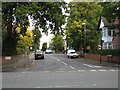
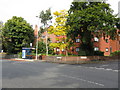
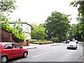
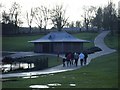
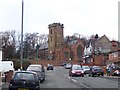
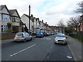
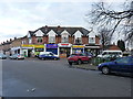
63 photos from this area
Area Information
Key information about the B20 3RS including its size, population, and administrative classification.
- Area Type
- Postcode
- Area Size
- 1.0 hectares
- Population
- 1984
- Population Density
- 10783 people/km²
House Prices in B20 3RS
37
Properties
£119,553
Average Sold Price
£25,000
Lowest Price
£230,000
Highest Price
Showing 37 properties
| Address | Type | Beds | Baths | Last Sale Price | Last Sale Date | |
|---|---|---|---|---|---|---|
| 67 Robert Road, Birmingham, B20 3RS | house | - | - | £200,000 | Jul 2023 | |
| 53 Robert Road, Birmingham, B20 3RS | house | - | - | £230,000 | Jul 2021 | |
| 63 Robert Road, Birmingham, B20 3RS | house | - | - | £160,000 | Aug 2018 | |
| 59 Robert Road, Birmingham, B20 3RS | house | 5 | - | £60,000 | Jan 2018 | |
| 57 Robert Road, Birmingham, B20 3RS | Terraced | 4 | - | £155,000 | May 2017 | |
| 3 Robert Road, Birmingham, B20 3RS | Semi-detached | 3 | 1 | £130,000 | Apr 2017 | |
| 43 Robert Road, Birmingham, B20 3RS | Terraced | 3 | - | £96,000 | Mar 2014 | |
| 5 Robert Road, Birmingham, B20 3RS | Terraced | 3 | - | £117,000 | Nov 2012 | |
| 73 Robert Road, Birmingham, B20 3RS | house | 5 | - | £164,000 | Mar 2010 | |
| 69 Robert Road, Birmingham, B20 3RS | house | 5 | 3 | £146,000 | Dec 2009 |
Page 1 of 4
Energy Efficiency in B20 3RS
Amenities
Schools
| Rank | School | Type | Entry gender | Ages |
|---|
Explore more schools in this area
Go to Schools tabDemographics
Household Size
Family (3-5 people)
most common
Accommodation Type
Houses
most common
Tenure
37
majority
Ethnic Group
asian_total
most common
Religion
N/A
most common
Household Composition
N/A
most common
Age
47
median
Adults (30-64 years)
most common
Household Deprivation
N/A
with no deprivation
NS-SEC
11
in Lower managerial occupations
Explore more demographic insights in this area
Go to Demographics tabPlanning
Planning Constraints
- Flood RiskPremium
- Ramsar Wetland SitesPremium
- Area of Outstanding Natural BeautyPremium
- Protected Nature ReservePremium
- Protected WoodlandPremium