Area Overview for B20 3PR
Photos of B20 3PR
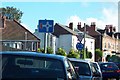
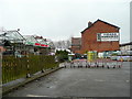
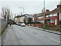
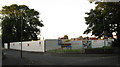
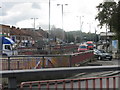
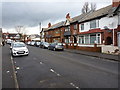
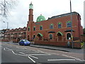
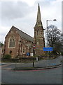
45 photos from this area
Area Information
Key information about the B20 3PR including its size, population, and administrative classification.
- Area Type
- Postcode
- Area Size
- 9983 m²
- Population
- 1794
- Population Density
- 11383 people/km²
House Prices in B20 3PR
47
Properties
£109,709
Average Sold Price
£24,000
Lowest Price
£182,000
Highest Price
Showing 47 properties
| Address | Type | Beds | Baths | Last Sale Price | Last Sale Date | |
|---|---|---|---|---|---|---|
| 101 Stamford Road, Birmingham, B20 3PR | house | - | - | £182,000 | Feb 2025 | |
| 100 Stamford Road, Birmingham, B20 3PR | Terraced | - | - | £100,000 | Sep 2023 | |
| 109 Stamford Road, Birmingham, B20 3PR | Terraced | 3 | 1 | £144,000 | Nov 2019 | |
| 81 Stamford Road, Birmingham, B20 3PR | Semi-detached | - | - | £24,665 | Sep 2014 | |
| 84 Stamford Road, Birmingham, B20 3PR | Terraced | 3 | 2 | £145,000 | Nov 2011 | |
| 104 Stamford Road, Birmingham, B20 3PR | house | 3 | - | £135,848 | Dec 2006 | |
| 90 Stamford Road, Birmingham, B20 3PR | Terraced | - | - | £130,000 | Oct 2006 | |
| 92 Stamford Road, Birmingham, B20 3PR | house | - | - | £105,000 | Jun 2006 | |
| 77 Stamford Road, Birmingham, B20 3PR | Flat | - | - | £140,000 | May 2006 | |
| 102 Stamford Road, Birmingham, B20 3PR | house | - | - | £110,000 | Apr 2004 |
Page 1 of 5
Energy Efficiency in B20 3PR
Amenities
Schools
| Rank | School | Type | Entry gender | Ages |
|---|
Explore more schools in this area
Go to Schools tabDemographics
Household Size
One person
most common
Accommodation Type
Houses
most common
Tenure
29
majority
Ethnic Group
asian_total
most common
Religion
N/A
most common
Household Composition
N/A
most common
Age
47
median
Adults (30-64 years)
most common
Household Deprivation
N/A
with no deprivation
NS-SEC
12
in Lower managerial occupations
Explore more demographic insights in this area
Go to Demographics tabPlanning
Planning Constraints
- Flood RiskPremium
- Ramsar Wetland SitesPremium
- Area of Outstanding Natural BeautyPremium
- Protected Nature ReservePremium
- Protected WoodlandPremium