Area Overview for B20 3NU
Photos of B20 3NU
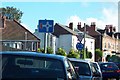
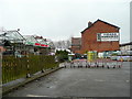
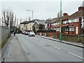
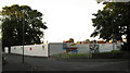
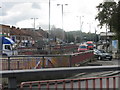
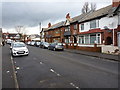
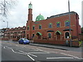
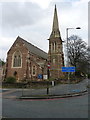
45 photos from this area
Area Information
Key information about the B20 3NU including its size, population, and administrative classification.
- Area Type
- Postcode
- Area Size
- 2.4 hectares
- Population
- 1815
- Population Density
- 6545 people/km²
House Prices in B20 3NU
25
Properties
£94,056
Average Sold Price
£16,280
Lowest Price
£165,000
Highest Price
Showing 25 properties
| Address | Type | Beds | Baths | Last Sale Price | Last Sale Date | |
|---|---|---|---|---|---|---|
| 16 Leslie Road, Lozells And East Handsworth, Birmingham, B20 3NU | house | - | - | £120,000 | Oct 2023 | |
| 2 Leslie Road, Lozells And East Handsworth, Birmingham, B20 3NU | Terraced | 2 | 1 | £165,000 | Aug 2023 | |
| 10 Leslie Road, Lozells And East Handsworth, Birmingham, B20 3NU | Terraced | 2 | 1 | £123,501 | Dec 2019 | |
| 22 Leslie Road, Lozells And East Handsworth, Birmingham, B20 3NU | Terraced | 2 | 1 | £95,000 | Apr 2018 | |
| 8 Leslie Road, Lozells And East Handsworth, Birmingham, B20 3NU | Terraced | 2 | 1 | £100,000 | Sep 2015 | |
| 40 Leslie Road, Lozells And East Handsworth, Birmingham, B20 3NU | house | - | - | £81,000 | Jul 2015 | |
| 34 Leslie Road, Lozells And East Handsworth, Birmingham, B20 3NU | Terraced | 3 | 1 | £95,000 | Apr 2015 | |
| 26 Leslie Road, Lozells And East Handsworth, Birmingham, B20 3NU | house | 3 | - | £95,000 | Jul 2012 | |
| 36 Leslie Road, Lozells And East Handsworth, Birmingham, B20 3NU | Terraced | - | - | £98,000 | Dec 2006 | |
| 32 Leslie Road, Lozells And East Handsworth, Birmingham, B20 3NU | house | - | - | £100,000 | May 2006 |
Page 1 of 3
Energy Efficiency in B20 3NU
Amenities
Schools
| Rank | School | Type | Entry gender | Ages |
|---|
Explore more schools in this area
Go to Schools tabDemographics
Household Size
Family (3-5 people)
most common
Accommodation Type
Houses
most common
Tenure
40
majority
Ethnic Group
asian_total
most common
Religion
N/A
most common
Household Composition
N/A
most common
Age
47
median
Adults (30-64 years)
most common
Household Deprivation
N/A
with no deprivation
NS-SEC
11
in Lower managerial occupations
Explore more demographic insights in this area
Go to Demographics tabPlanning
Planning Constraints
- Flood RiskPremium
- Ramsar Wetland SitesPremium
- Area of Outstanding Natural BeautyPremium
- Protected Nature ReservePremium
- Protected WoodlandPremium