Area Overview for B20 3HP
Photos of B20 3HP
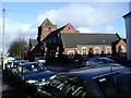
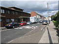

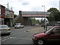
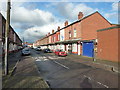
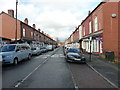
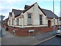
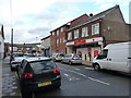
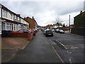
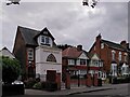
100 photos from this area
Area Information
Key information about the B20 3HP including its size, population, and administrative classification.
- Area Type
- Postcode
- Area Size
- 2638 m²
- Population
- 1975
- Population Density
- 18037 people/km²
House Prices in B20 3HP
11
Properties
£92,188
Average Sold Price
£26,500
Lowest Price
£143,000
Highest Price
Showing 11 properties
| Address | Type | Beds | Baths | Last Sale Price | Last Sale Date | |
|---|---|---|---|---|---|---|
| 79 Wenlock Road, Birmingham, B20 3HP | Terraced | 2 | 1 | £90,000 | Jul 2019 | |
| 85 Wenlock Road, Birmingham, B20 3HP | house | - | - | £115,000 | Jan 2019 | |
| 75 Wenlock Road, Birmingham, B20 3HP | house | - | - | £85,000 | Sep 2017 | |
| 83 Wenlock Road, Birmingham, B20 3HP | house | 3 | 1 | £70,000 | Oct 2012 | |
| 91 Wenlock Road, Birmingham, B20 3HP | house | - | - | £143,000 | May 2008 | |
| 73 Wenlock Road, Birmingham, B20 3HP | house | - | - | £100,000 | Jan 2008 | |
| 77 Wenlock Road, Birmingham, B20 3HP | Terraced | 3 | 1 | £108,000 | Mar 2005 | |
| 87 Wenlock Road, Birmingham, B20 3HP | house | - | - | £26,500 | May 2000 | |
| 89 Wenlock Road, Birmingham, B20 3HP | house | - | - | - | - | |
| 93 Wenlock Road, Birmingham, B20 3HP | house | - | - | - | - |
Page 1 of 2
Energy Efficiency in B20 3HP
Amenities
Schools
| Rank | School | Type | Entry gender | Ages |
|---|
Explore more schools in this area
Go to Schools tabDemographics
Household Size
Family (3-5 people)
most common
Accommodation Type
Houses
most common
Tenure
61
majority
Ethnic Group
asian_total
most common
Religion
N/A
most common
Household Composition
N/A
most common
Age
22
median
Adults (30-64 years)
most common
Household Deprivation
N/A
with no deprivation
NS-SEC
12
in Lower managerial occupations
Explore more demographic insights in this area
Go to Demographics tabPlanning
Planning Constraints
- Flood RiskPremium
- Ramsar Wetland SitesPremium
- Area of Outstanding Natural BeautyPremium
- Protected Nature ReservePremium
- Protected WoodlandPremium