Area Overview for B20 3AU
Photos of B20 3AU
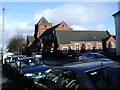
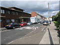


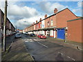
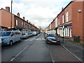
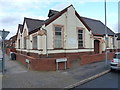
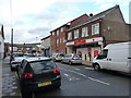
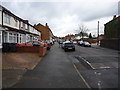
100 photos from this area
Area Information
Key information about the B20 3AU including its size, population, and administrative classification.
- Area Type
- Postcode
- Area Size
- 4477 m²
- Population
- Not available
- Population Density
- Not available
House Prices in B20 3AU
19
Properties
£127,688
Average Sold Price
£55,000
Lowest Price
£182,000
Highest Price
Showing 19 properties
| Address | Type | Beds | Baths | Last Sale Price | Last Sale Date | |
|---|---|---|---|---|---|---|
| 56 Stoneleigh Road, Birmingham, B20 3AU | house | - | - | £165,000 | Feb 2022 | |
| 50 Stoneleigh Road, Birmingham, B20 3AU | house | - | - | £182,000 | May 2020 | |
| 78 Stoneleigh Road, Birmingham, B20 3AU | house | - | - | £55,000 | Mar 2020 | |
| 72 Stoneleigh Road, Birmingham, B20 3AU | house | - | - | £150,000 | Jul 2018 | |
| 70 Stoneleigh Road, Birmingham, B20 3AU | Terraced | 4 | 1 | £125,000 | Jan 2015 | |
| 74 Stoneleigh Road, Birmingham, B20 3AU | house | - | - | £142,500 | Oct 2010 | |
| 82 Stoneleigh Road, Birmingham, B20 3AU | Terraced | 3 | 1 | £145,000 | Aug 2007 | |
| 54 Stoneleigh Road, Birmingham, B20 3AU | house | - | - | £57,000 | Apr 2000 | |
| 60 Stoneleigh Road, Birmingham, B20 3AU | Terraced | 3 | 2 | - | - | |
| 84 Stoneleigh Road, Birmingham, B20 3AU | house | - | - | - | - |
Page 1 of 2
Energy Efficiency in B20 3AU
Amenities
Schools
| Rank | School | Type | Entry gender | Ages |
|---|
Explore more schools in this area
Go to Schools tabDemographics
Household Size
Family (3-5 people)
most common
Accommodation Type
Houses
most common
Tenure
75
majority
Ethnic Group
asian_total
most common
Religion
N/A
most common
Household Composition
N/A
most common
Age
47
median
Adults (30-64 years)
most common
Household Deprivation
N/A
with no deprivation
NS-SEC
15
in Lower managerial occupations
Explore more demographic insights in this area
Go to Demographics tabPlanning
Planning Constraints
- Flood RiskPremium
- Ramsar Wetland SitesPremium
- Area of Outstanding Natural BeautyPremium
- Protected Nature ReservePremium
- Protected WoodlandPremium