Area Overview for B20 2BY
Photos of B20 2BY

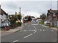
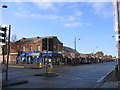
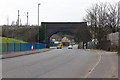
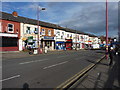
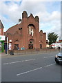
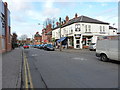
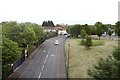
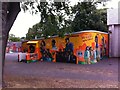
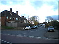
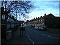

55 photos from this area
Area Information
Key information about the B20 2BY including its size, population, and administrative classification.
- Area Type
- Postcode
- Area Size
- 6.8 hectares
- Population
- 2250
- Population Density
- 3590 people/km²
House Prices in B20 2BY
21
Properties
£125,500
Average Sold Price
£27,000
Lowest Price
£200,000
Highest Price
Showing 21 properties
| Address | Type | Beds | Baths | Last Sale Price | Last Sale Date | |
|---|---|---|---|---|---|---|
| 141 Holly Road, Lozells And East Handsworth, Birmingham, B20 2BY | house | - | - | £95,000 | Feb 2018 | |
| 137 Holly Road, Lozells And East Handsworth, Birmingham, B20 2BY | Terraced | 4 | 2 | £153,000 | Oct 2017 | |
| 151 Holly Road, Lozells And East Handsworth, Birmingham, B20 2BY | Block of Flats | 12 | 2 | £200,000 | Nov 2016 | |
| 121 Holly Road, Lozells And East Handsworth, Birmingham, B20 2BY | house | 4 | - | £152,500 | Mar 2014 | |
| 135 Holly Road, Lozells And East Handsworth, Birmingham, B20 2BY | house | - | - | £27,000 | Jun 2000 | |
| 139 HOLLY ROAD, Lozells And East Handsworth, Birmingham, B20 2BY | Flat | - | - | - | - | |
| Flat 1, 139 Holly Road, Lozells And East Handsworth, Birmingham, B20 2BY | Flat | - | - | - | - | |
| 119A Holly Road, Lozells And East Handsworth, Birmingham, B20 2BY | Flat | - | - | - | - | |
| Flat 2, 139 Holly Road, Lozells And East Handsworth, Birmingham, B20 2BY | Flat | - | - | - | - | |
| 119B Holly Road, Lozells And East Handsworth, Birmingham, B20 2BY | Flat | - | - | - | - |
Page 1 of 3
Energy Efficiency in B20 2BY
Amenities
Schools
| Rank | School | Type | Entry gender | Ages |
|---|
Explore more schools in this area
Go to Schools tabDemographics
Household Size
One person
most common
Accommodation Type
Houses
most common
Tenure
36
majority
Ethnic Group
asian_total
most common
Religion
N/A
most common
Household Composition
N/A
most common
Age
47
median
Adults (30-64 years)
most common
Household Deprivation
N/A
with no deprivation
NS-SEC
19
in Lower managerial occupations
Explore more demographic insights in this area
Go to Demographics tabPlanning
Planning Constraints
- Flood RiskPremium
- Ramsar Wetland SitesPremium
- Area of Outstanding Natural BeautyPremium
- Protected Nature ReservePremium
- Protected WoodlandPremium