Area Overview for B20 1JD
Photos of B20 1JD
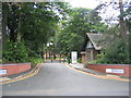
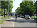
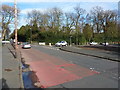
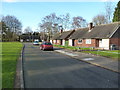
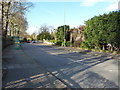
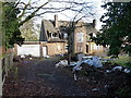
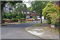
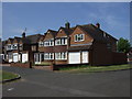
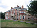
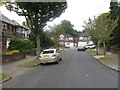
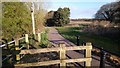
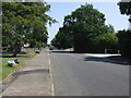
13 photos from this area
Area Information
Key information about the B20 1JD including its size, population, and administrative classification.
- Area Type
- Postcode
- Area Size
- 6320 m²
- Population
- 1583
- Population Density
- 941 people/km²
House Prices in B20 1JD
12
Properties
£211,208
Average Sold Price
£157,750
Lowest Price
£370,000
Highest Price
Showing 12 properties
| Address | Type | Beds | Baths | Last Sale Price | Last Sale Date | |
|---|---|---|---|---|---|---|
| 25 Westover Road, Birmingham, B20 1JD | house | - | - | £370,000 | Oct 2022 | |
| 29 Westover Road, Birmingham, B20 1JD | Semi-detached | 3 | 1 | £210,000 | May 2017 | |
| 19 Westover Road, Birmingham, B20 1JD | house | 3 | - | £159,500 | Nov 2011 | |
| 39 Westover Road, Birmingham, B20 1JD | Semi-detached | - | - | £205,000 | Dec 2005 | |
| 27 Westover Road, Birmingham, B20 1JD | house | - | - | £157,750 | Oct 2005 | |
| 17 Westover Road, Birmingham, B20 1JD | Detached | - | - | £165,000 | Nov 2001 | |
| 23 Westover Road, Birmingham, B20 1JD | Detached | 3 | 1 | - | - | |
| 37 Westover Road, Birmingham, B20 1JD | Terraced | - | - | - | - | |
| 21 Westover Road, Birmingham, B20 1JD | Detached | - | - | - | - | |
| 35 Westover Road, Birmingham, B20 1JD | Semi-detached | - | - | - | - |
Page 1 of 2
Energy Efficiency in B20 1JD
Amenities
Schools
| Rank | School | Type | Entry gender | Ages |
|---|
Explore more schools in this area
Go to Schools tabDemographics
Household Size
Family (3-5 people)
most common
Accommodation Type
Houses
most common
Tenure
88
majority
Ethnic Group
asian_total
most common
Religion
N/A
most common
Household Composition
N/A
most common
Age
47
median
Adults (30-64 years)
most common
Household Deprivation
N/A
with no deprivation
NS-SEC
30
in Lower managerial occupations
Explore more demographic insights in this area
Go to Demographics tabPlanning
Planning Constraints
- Flood RiskPremium
- Ramsar Wetland SitesPremium
- Area of Outstanding Natural BeautyPremium
- Protected Nature ReservePremium
- Protected WoodlandPremium