Area Overview for B20 1HG
Photos of B20 1HG
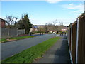
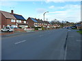
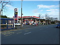
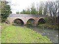
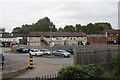
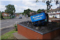
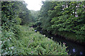
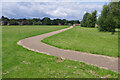
28 photos from this area
Area Information
Key information about the B20 1HG including its size, population, and administrative classification.
- Area Type
- Postcode
- Area Size
- 1.3 hectares
- Population
- 1659
- Population Density
- 3227 people/km²
House Prices in B20 1HG
27
Properties
£140,582
Average Sold Price
£55,000
Lowest Price
£250,000
Highest Price
Showing 27 properties
| Address | Type | Beds | Baths | Last Sale Price | Last Sale Date | |
|---|---|---|---|---|---|---|
| 52 Acfold Road, Birmingham, B20 1HG | house | - | - | £200,000 | Mar 2021 | |
| 67 Acfold Road, Birmingham, B20 1HG | Detached | 3 | 1 | £175,000 | Sep 2020 | |
| 68 Acfold Road, Birmingham, B20 1HG | house | 3 | 1 | £250,000 | Jul 2020 | |
| 47 Acfold Road, Birmingham, B20 1HG | Semi-detached | 3 | - | £140,000 | Mar 2016 | |
| 55 Acfold Road, Birmingham, B20 1HG | house | - | - | £102,530 | Apr 2014 | |
| 50 Acfold Road, Birmingham, B20 1HG | Detached | 3 | 1 | £176,000 | Dec 2013 | |
| 65 Acfold Road, Birmingham, B20 1HG | house | 3 | - | £137,000 | Mar 2010 | |
| 48 Acfold Road, Birmingham, B20 1HG | Detached | - | - | £169,950 | Jul 2007 | |
| 45 Acfold Road, Birmingham, B20 1HG | Semi-detached | - | - | £92,500 | Aug 2002 | |
| 63 Acfold Road, Birmingham, B20 1HG | house | - | - | £112,500 | May 2002 |
Page 1 of 3
Energy Efficiency in B20 1HG
Amenities
Schools
| Rank | School | Type | Entry gender | Ages |
|---|
Explore more schools in this area
Go to Schools tabDemographics
Household Size
Family (3-5 people)
most common
Accommodation Type
Houses
most common
Tenure
82
majority
Ethnic Group
asian_total
most common
Religion
N/A
most common
Household Composition
N/A
most common
Age
47
median
Adults (30-64 years)
most common
Household Deprivation
N/A
with no deprivation
NS-SEC
26
in Lower managerial occupations
Explore more demographic insights in this area
Go to Demographics tabPlanning
Planning Constraints
- Flood RiskPremium
- Ramsar Wetland SitesPremium
- Area of Outstanding Natural BeautyPremium
- Protected Nature ReservePremium
- Protected WoodlandPremium