Area Overview for B20 1EW
Photos of B20 1EW
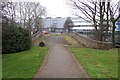
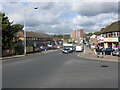
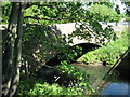
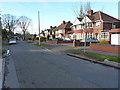
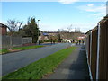
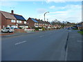
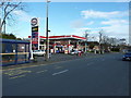
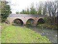
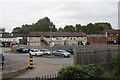
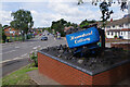
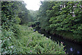
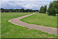
28 photos from this area
Area Information
Key information about the B20 1EW including its size, population, and administrative classification.
- Area Type
- Postcode
- Area Size
- 1.2 hectares
- Population
- 1659
- Population Density
- 3227 people/km²
House Prices in B20 1EW
15
Properties
£143,600
Average Sold Price
£65,500
Lowest Price
£295,000
Highest Price
Showing 15 properties
| Address | Type | Beds | Baths | Last Sale Price | Last Sale Date | |
|---|---|---|---|---|---|---|
| 55 Woodend, Birmingham, B20 1EW | Detached | 3 | 1 | £295,000 | Jul 2025 | |
| 69 Woodend, Birmingham, B20 1EW | Detached | 3 | 1 | £140,000 | Sep 2017 | |
| 45 Woodend, Birmingham, B20 1EW | Detached | 5 | 2 | £245,000 | Aug 2015 | |
| 51 Woodend, Birmingham, B20 1EW | Semi-detached | - | - | £120,000 | Oct 2010 | |
| 49 Woodend, Birmingham, B20 1EW | Semi-detached | 5 | 2 | £140,000 | Dec 2008 | |
| 59 Woodend, Birmingham, B20 1EW | house | - | - | £143,000 | Sep 2005 | |
| 41 Woodend, Birmingham, B20 1EW | Semi-detached | 3 | 1 | £100,000 | May 2003 | |
| 63 Woodend, Birmingham, B20 1EW | Detached | 3 | 1 | £120,000 | Oct 2002 | |
| 43 Woodend, Birmingham, B20 1EW | house | - | - | £67,500 | May 2000 | |
| 65 Woodend, Birmingham, B20 1EW | Detached | - | - | £65,500 | Jul 1996 |
Page 1 of 2
Energy Efficiency in B20 1EW
Amenities
Schools
| Rank | School | Type | Entry gender | Ages |
|---|
Explore more schools in this area
Go to Schools tabDemographics
Household Size
Family (3-5 people)
most common
Accommodation Type
Houses
most common
Tenure
82
majority
Ethnic Group
asian_total
most common
Religion
N/A
most common
Household Composition
N/A
most common
Age
47
median
Adults (30-64 years)
most common
Household Deprivation
N/A
with no deprivation
NS-SEC
26
in Lower managerial occupations
Explore more demographic insights in this area
Go to Demographics tabPlanning
Planning Constraints
- Flood RiskPremium
- Ramsar Wetland SitesPremium
- Area of Outstanding Natural BeautyPremium
- Protected Nature ReservePremium
- Protected WoodlandPremium