Area Overview for B20 1DP
Photos of B20 1DP
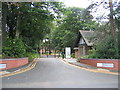
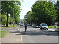
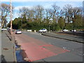
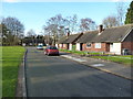
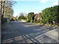
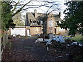
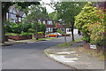
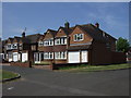
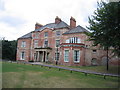
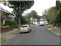
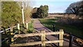
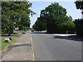
13 photos from this area
Area Information
Key information about the B20 1DP including its size, population, and administrative classification.
- Area Type
- Postcode
- Area Size
- 6702 m²
- Population
- 1592
- Population Density
- 5136 people/km²
House Prices in B20 1DP
10
Properties
£184,833
Average Sold Price
£6,000
Lowest Price
£282,500
Highest Price
Showing 10 properties
| Address | Type | Beds | Baths | Last Sale Price | Last Sale Date | |
|---|---|---|---|---|---|---|
| 16 Manway Close, Birmingham, B20 1DP | Detached | 4 | 1 | £282,500 | Jan 2024 | |
| 10 Manway Close, Birmingham, B20 1DP | Detached | 4 | 2 | £270,000 | Nov 2019 | |
| 6 Manway Close, Birmingham, B20 1DP | Detached | 5 | 1 | £225,000 | Feb 2019 | |
| 20 Manway Close, Birmingham, B20 1DP | Detached | 4 | 2 | £205,000 | Nov 2016 | |
| 18 Manway Close, Birmingham, B20 1DP | house | - | - | £6,000 | Jul 2016 | |
| 2 Manway Close, Birmingham, B20 1DP | Detached | 3 | 1 | £190,000 | Dec 2006 | |
| 14 Manway Close, Birmingham, B20 1DP | Detached | 4 | 1 | £235,000 | Mar 2006 | |
| 4 Manway Close, Birmingham, B20 1DP | Detached | 3 | 1 | £185,000 | Dec 2004 | |
| 8 Manway Close, Birmingham, B20 1DP | Detached | - | - | £65,000 | Aug 1997 | |
| 12 Manway Close, Birmingham, B20 1DP | Detached | - | - | - | - |
Energy Efficiency in B20 1DP
Amenities
Schools
| Rank | School | Type | Entry gender | Ages |
|---|
Explore more schools in this area
Go to Schools tabDemographics
Household Size
Family (3-5 people)
most common
Accommodation Type
Houses
most common
Tenure
84
majority
Ethnic Group
asian_total
most common
Religion
N/A
most common
Household Composition
N/A
most common
Age
47
median
Adults (30-64 years)
most common
Household Deprivation
N/A
with no deprivation
NS-SEC
31
in Lower managerial occupations
Explore more demographic insights in this area
Go to Demographics tabPlanning
Planning Constraints
- Flood RiskPremium
- Ramsar Wetland SitesPremium
- Area of Outstanding Natural BeautyPremium
- Protected Nature ReservePremium
- Protected WoodlandPremium