Area Overview for B19 2AP
Photos of B19 2AP
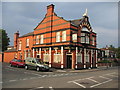
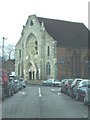
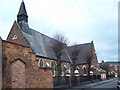
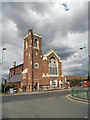
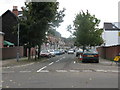
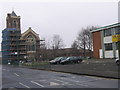
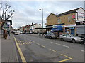
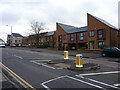
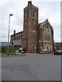
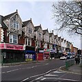
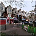
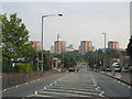
36 photos from this area
Area Information
Key information about the B19 2AP including its size, population, and administrative classification.
- Area Type
- Postcode
- Area Size
- 1.1 hectares
- Population
- 1987
- Population Density
- 17789 people/km²
House Prices in B19 2AP
51
Properties
£129,045
Average Sold Price
£24,000
Lowest Price
£280,000
Highest Price
Showing 51 properties
| Address | Type | Beds | Baths | Last Sale Price | Last Sale Date | |
|---|---|---|---|---|---|---|
| 49 Lozells Street, Birmingham, B19 2AP | house | 3 | 1 | £205,000 | Dec 2023 | |
| 123 Lozells Street, Birmingham, B19 2AP | Detached | 4 | - | £280,000 | Jun 2023 | |
| 91 Lozells Street, Birmingham, B19 2AP | Detached | 4 | 2 | £215,000 | Nov 2017 | |
| 89 Lozells Street, Birmingham, B19 2AP | Semi-detached | 3 | - | £157,000 | Jul 2015 | |
| 87 Lozells Street, Birmingham, B19 2AP | Semi-detached | 3 | - | £150,000 | Mar 2015 | |
| 55 Lozells Street, Birmingham, B19 2AP | house | - | - | £100,000 | Mar 2011 | |
| 47 LOZELLS STREET, Birmingham, B19 2AP | Flat | - | - | £85,000 | Jan 2006 | |
| 83 Lozells Street, Birmingham, B19 2AP | house | - | - | £93,000 | Dec 2001 | |
| 53 Lozells Street, Birmingham, B19 2AP | Terraced | - | - | £34,500 | Oct 1999 | |
| 79 Lozells Street, Birmingham, B19 2AP | Terraced | - | - | £76,000 | Nov 1998 |
Page 1 of 6
Energy Efficiency in B19 2AP
Amenities
Schools
| Rank | School | Type | Entry gender | Ages |
|---|
Explore more schools in this area
Go to Schools tabDemographics
Household Size
Family (3-5 people)
most common
Accommodation Type
Houses
most common
Tenure
37
majority
Ethnic Group
asian_total
most common
Religion
N/A
most common
Household Composition
N/A
most common
Age
22
median
Adults (30-64 years)
most common
Household Deprivation
N/A
with no deprivation
NS-SEC
7
in Lower managerial occupations
Explore more demographic insights in this area
Go to Demographics tabPlanning
Planning Constraints
- Flood RiskPremium
- Ramsar Wetland SitesPremium
- Area of Outstanding Natural BeautyPremium
- Protected Nature ReservePremium
- Protected WoodlandPremium