Area Overview for B19 1QW
Photos of B19 1QW
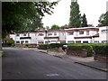

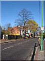
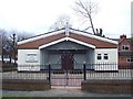
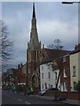
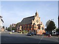
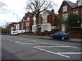
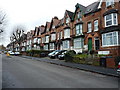

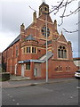
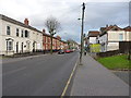
70 photos from this area
Area Information
Key information about the B19 1QW including its size, population, and administrative classification.
- Area Type
- Postcode
- Area Size
- 9271 m²
- Population
- 1946
- Population Density
- 15299 people/km²
House Prices in B19 1QW
34
Properties
£71,071
Average Sold Price
£18,000
Lowest Price
£138,000
Highest Price
Showing 34 properties
| Address | Type | Beds | Baths | Last Sale Price | Last Sale Date | |
|---|---|---|---|---|---|---|
| 1 St Silas Square, Birmingham, B19 1QW | Terraced | 2 | 1 | £138,000 | Dec 2023 | |
| 31 St Silas Square, Birmingham, B19 1QW | house | - | - | £110,000 | Apr 2023 | |
| 43 St Silas Square, Birmingham, B19 1QW | Terraced | 2 | - | £85,000 | Feb 2017 | |
| 61 St Silas Square, Birmingham, B19 1QW | Terraced | 4 | 1 | £44,000 | Oct 2016 | |
| 57 St Silas Square, Birmingham, B19 1QW | house | 3 | - | £97,000 | Nov 2012 | |
| 23 St Silas Square, Birmingham, B19 1QW | house | 2 | 1 | £85,000 | Dec 2011 | |
| 25 St Silas Square, Birmingham, B19 1QW | house | - | - | £77,000 | Aug 2011 | |
| 7 St Silas Square, Birmingham, B19 1QW | house | - | - | £45,000 | Sep 2010 | |
| 11 St Silas Square, Birmingham, B19 1QW | house | - | - | £65,000 | Feb 2010 | |
| 51 St Silas Square, Birmingham, B19 1QW | Terraced | 3 | 1 | £105,000 | Dec 2006 |
Page 1 of 4
Energy Efficiency in B19 1QW
Amenities
Schools
| Rank | School | Type | Entry gender | Ages |
|---|
Explore more schools in this area
Go to Schools tabDemographics
Household Size
Family (3-5 people)
most common
Accommodation Type
Houses
most common
Tenure
51
majority
Ethnic Group
asian_total
most common
Religion
N/A
most common
Household Composition
N/A
most common
Age
22
median
Adults (30-64 years)
most common
Household Deprivation
N/A
with no deprivation
NS-SEC
9
in Lower managerial occupations
Explore more demographic insights in this area
Go to Demographics tabPlanning
Planning Constraints
- Flood RiskPremium
- Ramsar Wetland SitesPremium
- Area of Outstanding Natural BeautyPremium
- Protected Nature ReservePremium
- Protected WoodlandPremium