Area Overview for B18 5LE
Photos of B18 5LE
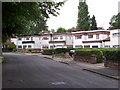

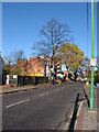
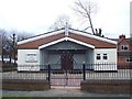
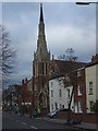
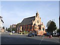
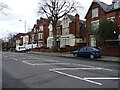
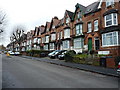

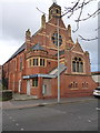
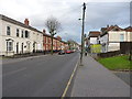
70 photos from this area
Area Information
Key information about the B18 5LE including its size, population, and administrative classification.
- Area Type
- Postcode
- Area Size
- 6851 m²
- Population
- 2248
- Population Density
- 6183 people/km²
House Prices in B18 5LE
25
Properties
£136,425
Average Sold Price
£40,000
Lowest Price
£305,000
Highest Price
Showing 25 properties
| Address | Type | Beds | Baths | Last Sale Price | Last Sale Date | |
|---|---|---|---|---|---|---|
| 180 South Road, Soho, Birmingham, B18 5LE | house | - | - | £135,000 | May 2025 | |
| 154 South Road, Soho, Birmingham, B18 5LE | Semi-detached | 3 | 1 | £230,000 | Jan 2024 | |
| 170 South Road, Soho, Birmingham, B18 5LE | Terraced | 5 | 3 | £305,000 | Nov 2022 | |
| 144 South Road, Soho, Birmingham, B18 5LE | house | - | - | £240,000 | Feb 2022 | |
| 168 South Road, Soho, Birmingham, B18 5LE | Terraced | 4 | 1 | £150,000 | Apr 2017 | |
| 148 South Road, Soho, Birmingham, B18 5LE | Semi-detached | 3 | 1 | £125,000 | Jun 2015 | |
| 186 South Road, Soho, Birmingham, B18 5LE | Terraced | 4 | 2 | £115,100 | Dec 2013 | |
| 182 South Road, Soho, Birmingham, B18 5LE | Terraced | 4 | 1 | £132,000 | Feb 2005 | |
| 164 South Road, Soho, Birmingham, B18 5LE | house | - | - | £56,000 | Jan 2002 | |
| 146 South Road, Soho, Birmingham, B18 5LE | Terraced | 4 | 1 | £55,000 | Nov 2001 |
Page 1 of 3
Energy Efficiency in B18 5LE
Amenities
Schools
| Rank | School | Type | Entry gender | Ages |
|---|
Explore more schools in this area
Go to Schools tabDemographics
Household Size
Family (3-5 people)
most common
Accommodation Type
Houses
most common
Tenure
33
majority
Ethnic Group
asian_total
most common
Religion
N/A
most common
Household Composition
N/A
most common
Age
47
median
Adults (30-64 years)
most common
Household Deprivation
N/A
with no deprivation
NS-SEC
13
in Lower managerial occupations
Explore more demographic insights in this area
Go to Demographics tabPlanning
Planning Constraints
- Flood RiskPremium
- Ramsar Wetland SitesPremium
- Area of Outstanding Natural BeautyPremium
- Protected Nature ReservePremium
- Protected WoodlandPremium