Area Overview for B17 9QT
Photos of B17 9QT
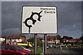
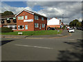
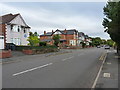
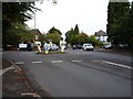
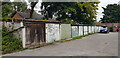
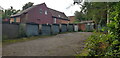
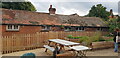
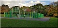

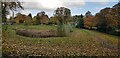
42 photos from this area
Area Information
Key information about the B17 9QT including its size, population, and administrative classification.
- Area Type
- Postcode
- Area Size
- 9145 m²
- Population
- 1776
- Population Density
- 5247 people/km²
House Prices in B17 9QT
32
Properties
£440,909
Average Sold Price
£60,000
Lowest Price
£625,000
Highest Price
Showing 32 properties
| Address | Type | Beds | Baths | Last Sale Price | Last Sale Date | |
|---|---|---|---|---|---|---|
| 41 Lordswood Road, Harborne, Birmingham, B17 9QT | Semi-detached | 4 | 1 | £585,000 | Feb 2022 | |
| 51 Lordswood Road, Harborne, Birmingham, B17 9QT | house | - | - | £575,000 | Mar 2021 | |
| 73 Lordswood Road, Harborne, Birmingham, B17 9QT | house | 6 | 1 | £505,000 | Sep 2018 | |
| 75 Lordswood Road, Harborne, Birmingham, B17 9QT | Terraced | 5 | 3 | £605,000 | Jul 2018 | |
| 81 LORDSWOOD ROAD, Harborne, Birmingham, B17 9QT | Detached | 4 | 3 | £625,000 | Jun 2017 | |
| 49 Lordswood Road, Harborne, Birmingham, B17 9QT | Semi-detached | 4 | 2 | £510,000 | Aug 2016 | |
| 79 Lordswood Road, Harborne, Birmingham, B17 9QT | house | 3 | 1 | £340,000 | Nov 2015 | |
| 67 Lordswood Road, Harborne, Birmingham, B17 9QT | Terraced | 3 | - | £400,000 | Sep 2015 | |
| 57 Lordswood Road, Harborne, Birmingham, B17 9QT | Semi-detached | - | - | £395,000 | Aug 2006 | |
| 55 Lordswood Road, Harborne, Birmingham, B17 9QT | Semi-detached | - | - | £250,000 | Mar 2002 |
Page 1 of 4
Energy Efficiency in B17 9QT
Amenities
Schools
| Rank | School | Type | Entry gender | Ages |
|---|
Explore more schools in this area
Go to Schools tabDemographics
Household Size
Two person
most common
Accommodation Type
Houses
most common
Tenure
57
majority
Ethnic Group
White
most common
Religion
N/A
most common
Household Composition
N/A
most common
Age
47
median
Adults (30-64 years)
most common
Household Deprivation
N/A
with no deprivation
NS-SEC
53
in Lower managerial occupations
Explore more demographic insights in this area
Go to Demographics tabPlanning
Planning Constraints
- Flood RiskPremium
- Ramsar Wetland SitesPremium
- Area of Outstanding Natural BeautyPremium
- Protected Nature ReservePremium
- Protected WoodlandPremium