Area Overview for B17 9HA
Photos of B17 9HA

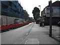
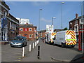
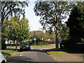
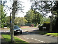
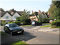
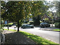
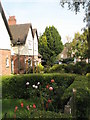
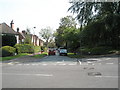
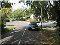
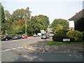

100 photos from this area
Area Information
Key information about the B17 9HA including its size, population, and administrative classification.
- Area Type
- Postcode
- Area Size
- 6869 m²
- Population
- Not available
- Population Density
- Not available
House Prices in B17 9HA
46
Properties
£245,515
Average Sold Price
£71,500
Lowest Price
£345,000
Highest Price
Showing 46 properties
| Address | Type | Beds | Baths | Last Sale Price | Last Sale Date | |
|---|---|---|---|---|---|---|
| 59 Gordon Road, Harborne, Birmingham, B17 9HA | Detached | 2 | 1 | £318,500 | Sep 2025 | |
| 41 Gordon Road, Harborne, Birmingham, B17 9HA | house | 2 | 1 | £310,000 | Mar 2025 | |
| 89 Gordon Road, Harborne, Birmingham, B17 9HA | house | 2 | 1 | £273,000 | Mar 2025 | |
| 61 Gordon Road, Harborne, Birmingham, B17 9HA | Terraced | 2 | 1 | £301,000 | Nov 2024 | |
| 25 Gordon Road, Harborne, Birmingham, B17 9HA | Terraced | 2 | 1 | £315,000 | Sep 2024 | |
| 13 Gordon Road, Harborne, Birmingham, B17 9HA | Terraced | 2 | 1 | £318,500 | Sep 2023 | |
| 9 Gordon Road, Harborne, Birmingham, B17 9HA | Terraced | 2 | 1 | £310,000 | Aug 2023 | |
| 15 Gordon Road, Harborne, Birmingham, B17 9HA | Terraced | 2 | 1 | £323,000 | Jul 2023 | |
| 87 Gordon Road, Harborne, Birmingham, B17 9HA | house | - | - | £210,000 | Apr 2023 | |
| 21 Gordon Road, Harborne, Birmingham, B17 9HA | Terraced | 2 | 1 | £277,500 | Feb 2023 |
Page 1 of 5
Energy Efficiency in B17 9HA
Amenities
Schools
| Rank | School | Type | Entry gender | Ages |
|---|
Explore more schools in this area
Go to Schools tabDemographics
Household Size
One person
most common
Accommodation Type
Houses
most common
Tenure
45
majority
Ethnic Group
White
most common
Religion
N/A
most common
Household Composition
N/A
most common
Age
47
median
Adults (30-64 years)
most common
Household Deprivation
N/A
with no deprivation
NS-SEC
55
in Lower managerial occupations
Explore more demographic insights in this area
Go to Demographics tabPlanning
Planning Constraints
- Flood RiskPremium
- Ramsar Wetland SitesPremium
- Area of Outstanding Natural BeautyPremium
- Protected Nature ReservePremium
- Protected WoodlandPremium