Area Overview for B17 8SU
Photos of B17 8SU
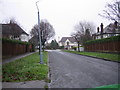
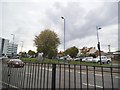
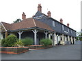
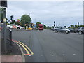
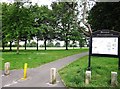
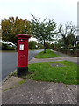
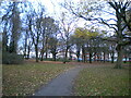
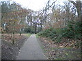
18 photos from this area
Area Information
Key information about the B17 8SU including its size, population, and administrative classification.
- Area Type
- Postcode
- Area Size
- 1788 m²
- Population
- Not available
- Population Density
- Not available
House Prices in B17 8SU
6
Properties
£217,025
Average Sold Price
£103,125
Lowest Price
£345,000
Highest Price
Showing 6 properties
| Address | Type | Beds | Baths | Last Sale Price | Last Sale Date | |
|---|---|---|---|---|---|---|
| 6 Green Walk, Birmingham, B17 8SU | Retail | 3 | 1 | £345,000 | Oct 2022 | |
| 8 Green Walk, Birmingham, B17 8SU | Semi-detached | 3 | 1 | £242,000 | Feb 2019 | |
| 4 Green Walk, Birmingham, B17 8SU | house | - | - | £103,125 | Jan 2017 | |
| 10 Green Walk, Birmingham, B17 8SU | Semi-detached | 3 | 1 | £210,000 | Mar 2014 | |
| 12 Green Walk, Birmingham, B17 8SU | house | - | - | £185,000 | Oct 2009 | |
| 2 Green Walk, Birmingham, B17 8SU | Terraced | - | - | - | - |
Energy Efficiency in B17 8SU
Amenities
Schools
| Rank | School | Type | Entry gender | Ages |
|---|
Explore more schools in this area
Go to Schools tabDemographics
Household Size
One person
most common
Accommodation Type
Houses
most common
Tenure
79
majority
Ethnic Group
asian_total
most common
Religion
N/A
most common
Household Composition
N/A
most common
Age
47
median
Adults (30-64 years)
most common
Household Deprivation
N/A
with no deprivation
NS-SEC
49
in Lower managerial occupations
Explore more demographic insights in this area
Go to Demographics tabPlanning
Planning Constraints
- Flood RiskPremium
- Ramsar Wetland SitesPremium
- Area of Outstanding Natural BeautyPremium
- Protected Nature ReservePremium
- Protected WoodlandPremium