Area Overview for B17 0QN
Photos of B17 0QN
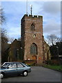
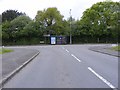
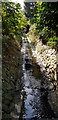
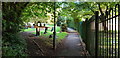
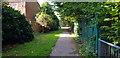
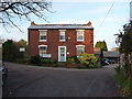
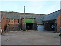
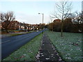
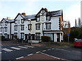
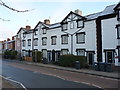
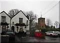
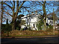
33 photos from this area
Area Information
Key information about the B17 0QN including its size, population, and administrative classification.
- Area Type
- Postcode
- Area Size
- 6197 m²
- Population
- 1693
- Population Density
- 1834 people/km²
House Prices in B17 0QN
18
Properties
£142,000
Average Sold Price
£52,500
Lowest Price
£242,000
Highest Price
Showing 18 properties
| Address | Type | Beds | Baths | Last Sale Price | Last Sale Date | |
|---|---|---|---|---|---|---|
| 5 Kelfield Avenue, Birmingham, B17 0QN | house | - | - | £225,000 | Aug 2021 | |
| 4 Kelfield Avenue, Birmingham, B17 0QN | Semi-detached | 2 | 2 | £242,000 | Jun 2021 | |
| 12 Kelfield Avenue, Birmingham, B17 0QN | Semi-detached | 2 | 1 | £195,000 | Sep 2018 | |
| 8 Kelfield Avenue, Birmingham, B17 0QN | Semi-detached | 2 | 1 | £161,500 | Mar 2016 | |
| 7 Kelfield Avenue, Birmingham, B17 0QN | Semi-detached | 2 | 1 | £165,000 | Sep 2015 | |
| 15 Kelfield Avenue, Birmingham, B17 0QN | Terraced | - | - | £117,000 | May 2004 | |
| 17 Kelfield Avenue, Birmingham, B17 0QN | house | - | - | £67,000 | May 2000 | |
| 3 Kelfield Avenue, Birmingham, B17 0QN | house | - | - | £52,500 | Sep 1999 | |
| 20 Kelfield Avenue, Birmingham, B17 0QN | Flat | - | - | £53,000 | Aug 1999 | |
| 10 Kelfield Avenue, Birmingham, B17 0QN | Detached | 2 | 1 | - | - |
Page 1 of 2
Energy Efficiency in B17 0QN
Amenities
Schools
| Rank | School | Type | Entry gender | Ages |
|---|
Explore more schools in this area
Go to Schools tabDemographics
Household Size
One person
most common
Accommodation Type
Houses
most common
Tenure
49
majority
Ethnic Group
White
most common
Religion
N/A
most common
Household Composition
N/A
most common
Age
47
median
Adults (30-64 years)
most common
Household Deprivation
N/A
with no deprivation
NS-SEC
43
in Lower managerial occupations
Explore more demographic insights in this area
Go to Demographics tabPlanning
Planning Constraints
- Flood RiskPremium
- Ramsar Wetland SitesPremium
- Area of Outstanding Natural BeautyPremium
- Protected Nature ReservePremium
- Protected WoodlandPremium