Area Overview for B16 9XN
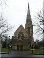
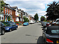
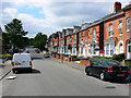
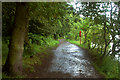
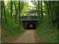
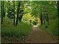
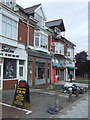
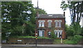
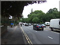
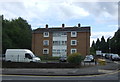
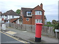
Photos of B16 9XN

Area Information
B16 9XN lies in the North Edgbaston ward of Birmingham, a small residential cluster just south-west of the city centre. With a population of 1,968, it is a compact area characterised by its historical roots and proximity to Birmingham’s core. Once part of Warwickshire, the ward was shaped by 19th-century landowners who preserved its green spaces, earning it the nickname “where the trees begin.” Today, it blends urban convenience with pockets of natural heritage, such as Edgbaston Pool—a Site of Special Scientific Interest—and Deer’s Leap Wood. The area is within walking distance of Birmingham’s landmarks, including Edgbaston Hall, a Grade II listed building, and the former Pebble Mill Studios site, now home to the Birmingham Dental Hospital. Residents benefit from proximity to transport hubs, retail, and cultural amenities, making it a practical choice for those seeking a balance between city life and quieter surroundings.
- Area Type
- Postcode
- Area Size
- Not available
- Population
- 1968
- Population Density
- 5595 people/km²
B16 9XN is a small area with a housing stock primarily composed of houses, reflecting a more suburban character than the high-rise or terraced developments typical of larger urban zones. With 48% of homes owned by residents, the area is not heavily dominated by rentals, though the lower home ownership rate indicates a notable proportion of leaseholds or private rentals. This mix may appeal to buyers seeking a balance between property value stability and flexibility. The limited size of the postcode means the housing market is tightly focused on the immediate vicinity, with properties likely to be in close proximity to local amenities and transport links. Buyers should consider the area’s compact nature, as the surrounding zones may offer more varied options. The predominance of houses also suggests a focus on family-friendly living, though the age profile of residents suggests a more mature demographic.
House Prices in B16 9XN
No properties found in this postcode.
Energy Efficiency in B16 9XN
Living in B16 9XN offers access to a range of amenities within practical reach. Retail options include Tesco Edgbaston, Farmfoods Smethwick, and Tesco Hagley, providing everyday shopping convenience. The area’s transport network, including metro stops like Edgbaston Village and rail stations such as Jewellery Quarter, ensures easy access to Birmingham’s cultural and commercial centres. Parks and green spaces, such as Edgbaston Pool and Deer’s Leap Wood, offer recreational opportunities, though the area’s small size means these are more niche than expansive. The historical character of the ward, with sites like Edgbaston Hall, adds a unique dimension to daily life. While the amenities are not extensive, their proximity to the city centre and transport links make them efficient for residents seeking a mix of local convenience and urban accessibility.
Amenities
Schools
| Rank | School | Type | Entry gender | Ages |
|---|
Explore more schools in this area
Go to Schools tabDemographics
The population of B16 9XN is 1,968, with a median age of 47, indicating a community skewed towards middle-aged and older adults. The most common age group is 30–64 years, suggesting a mix of established professionals and families. Home ownership here stands at 48%, slightly below the national average, implying a significant rental market. The area’s accommodation is predominantly houses, reflecting a more traditional housing stock compared to high-density developments. The predominant ethnic group is Asian, highlighting cultural diversity. While specific deprivation data is not provided, the age profile and home ownership rate suggest a stable, long-term resident base. The absence of young families may influence local amenities and services, though the area’s historical character and green spaces cater to a range of lifestyles.
Household Size
Accommodation Type
Tenure
Ethnic Group
Religion
Household Composition
Age
Household Deprivation
NS-SEC
Explore more demographic insights in this area
Go to Demographics tabPlanning
Planning Constraints
- Flood RiskPremium
- Ramsar Wetland SitesPremium
- Area of Outstanding Natural BeautyPremium
- Protected Nature ReservePremium
- Protected WoodlandPremium