Area Overview for B16 9HD
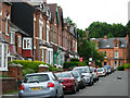
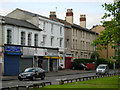
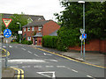
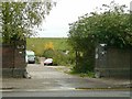
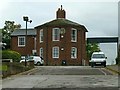
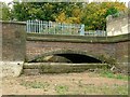
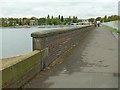
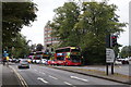
Photos of B16 9HD


Area Information
B16 9HD is a small residential postcode area nestled in the west of Birmingham, part of the North Edgbaston ward. With a population of 2,077, it is a compact community that blends historical charm with modern convenience. Situated south-west of Birmingham city centre, the area has roots in 19th-century heritage, once a haven for wealthier residents due to its refusal to accommodate industrial development. Today, it offers a quiet alternative to the city’s bustling core. The area’s proximity to landmarks like Edgbaston Hall and Deer’s Leap Wood hints at its green spaces, while its transport links to rail and metro hubs ensure connectivity. Daily life here is shaped by its modest size, with residents benefiting from nearby amenities such as retail outlets, schools, and cultural sites. Though small, B16 9HD reflects the broader character of Edgbaston—a mix of historic significance and practical urban living.
- Area Type
- Postcode
- Area Size
- Not available
- Population
- 2077
- Population Density
- 5483 people/km²
The property market in B16 9HD is defined by its limited scale and the prevalence of flats. With only 29% of homes owned by residents, the area leans heavily towards rental properties, making it a less common choice for long-term homeowners. The dominance of flats suggests a focus on compact living, which may appeal to those prioritising ease of maintenance and proximity to urban amenities. Given the area’s small size, the housing stock is unlikely to offer extensive variety, and buyers should consider nearby postcode areas for broader options. The low home ownership rate also implies that property prices may be influenced by rental demand rather than speculative investment. For those seeking a home here, the market is practical but not expansive, requiring careful consideration of both availability and long-term suitability.
House Prices in B16 9HD
No properties found in this postcode.
Energy Efficiency in B16 9HD
Living in B16 9HD offers access to a range of amenities that cater to daily needs. The area is within reach of five retail outlets, including Tesco Hagley and Spar Ample, ensuring convenient shopping options. Metro areas like Edgbaston Village and Centenary Square provide a mix of dining, leisure, and cultural activities, while rail stations such as Five Ways and Jewellery Quarter connect residents to wider Birmingham. The proximity to parks and green spaces, including Edgbaston Pool and Deer’s Leap Wood, adds a touch of natural beauty to urban living. These amenities collectively create a lifestyle that balances practicality with access to urban vibrancy, making the area appealing for those who value convenience without sacrificing quality of life.
Amenities
Schools
The nearest school to B16 9HD is St Paul’s School for Girls, a primary school with an Ofsted rating of outstanding. This indicates a high standard of education for younger students, which is a significant draw for families. The absence of secondary schools in the immediate vicinity means residents may need to look slightly beyond the postcode area for comprehensive schooling. However, the presence of a top-rated primary school suggests that the area is well-served for early education. For families prioritising academic quality, St Paul’s provides a strong foundation, though additional research into nearby secondary options is advisable to ensure a full educational pathway.
| Rank | School | Type | Entry gender | Ages |
|---|
Explore more schools in this area
Go to Schools tabDemographics
The community in B16 9HD is predominantly middle-aged, with a median age of 47 and the most common age range being adults aged 30–64. Home ownership is relatively low at 29%, suggesting a significant portion of residents are renters. The area is characterised by flats, which dominate the accommodation type. The predominant ethnic group is White, though specific data on diversity is not provided. This demographic profile indicates a stable, mature population, likely drawn to the area for its established infrastructure and proximity to services. The lower home ownership rate may reflect a rental market influenced by the area’s compact size and limited housing stock. For residents, this means a community with a focus on convenience over expansion, where daily life revolves around local amenities rather than large-scale development.
Household Size
Accommodation Type
Tenure
Ethnic Group
Religion
Household Composition
Age
Household Deprivation
NS-SEC
Explore more demographic insights in this area
Go to Demographics tabPlanning
Planning Constraints
- Flood RiskPremium
- Ramsar Wetland SitesPremium
- Area of Outstanding Natural BeautyPremium
- Protected Nature ReservePremium
- Protected WoodlandPremium