Area Overview for B16 0QL
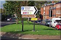
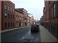
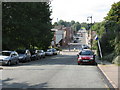
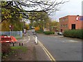
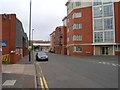
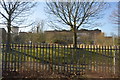
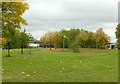
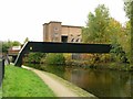
Photos of B16 0QL


Area Information
B16 0QL lies in the heart of Ladywood Ward, an inner-city district in west Birmingham. With a population of 2,103, this small postcode area reflects the dense urban character of central Birmingham, historically shaped by industrial and social transformations. The ward encompasses parts of the city centre, including landmarks like the Council House and Town Hall, and is bordered by areas such as Hockley and Lee Bank. Daily life here is defined by proximity to key civic spaces and a mix of retail and transport hubs. While the area has faced historical challenges, including social deprivation and crime, its strategic location near Birmingham’s core offers residents access to cultural, economic, and educational resources. The median age of 47 suggests a mature community, with many residents likely tied to local employment or long-term residency. Living in B16 0QL means navigating a compact, urban environment where convenience comes at the cost of density and the need for vigilance in public spaces.
- Area Type
- Postcode
- Area Size
- Not available
- Population
- 2103
- Population Density
- 3499 people/km²
The property market in B16 0QL is characterised by a low home ownership rate of 27%, indicating that the majority of housing stock is rented. Despite this, the accommodation type is predominantly houses, which is unusual for an inner-city postcode. This suggests a niche market where older, detached properties coexist with newer developments. For buyers, this dynamic creates a challenge: the small area offers limited scope for property investment, and the rental-focused market may mean competition for available homes. The presence of houses rather than flats or apartments could appeal to those seeking more space in a compact area, but the high crime risk and urban density may deter some buyers. Those considering the area should weigh the potential for long-term value against the practical realities of living in a high-traffic, low-ownership zone.
House Prices in B16 0QL
No properties found in this postcode.
Energy Efficiency in B16 0QL
Living in B16 0QL grants access to a range of amenities within walking or short-vehicle distance. Retail options include Tesco Hockley, Lidl Winson, and Spar, providing essential shopping and convenience services. The area’s proximity to Birmingham’s city centre means residents can reach leisure spots like Centenary Square and the Town Hall, as well as dining and cultural venues. Rail and metro connections to Edgbaston Village and Snow Hill Station make commuting to other parts of Birmingham efficient. However, the lack of green spaces or parks within the immediate area may require residents to travel for outdoor recreation. The mix of retail, transport, and civic amenities supports a functional urban lifestyle, though the compact nature of the postcode means community spaces are limited.
Amenities
Schools
Two primary schools serve B16 0QL: Barford Primary School and St Patrick and St Edmund’s Catholic Primary School. Both are rated ‘good’ by Ofsted, offering families a choice of state and faith-based education. The presence of two primary schools within the area ensures accessibility for young children, reducing the need for long commutes. However, the absence of secondary schools or further education institutions nearby means students may need to travel to other parts of Birmingham for higher education. The mix of school types caters to diverse family preferences, though the limited number of schools highlights a potential gap in educational infrastructure for older children. Parents should consider proximity to secondary schools when evaluating long-term suitability for their family’s needs.
| Rank | School | Type | Entry gender | Ages |
|---|
Explore more schools in this area
Go to Schools tabDemographics
The population of B16 0QL is predominantly adults aged 30–64, with a median age of 47. This suggests a community with established careers and family structures, though the 27% home ownership rate indicates that many residents rent rather than own property. The accommodation type is largely houses, which is uncommon in high-density urban areas, hinting at a mix of older, detached homes and newer developments. The predominant ethnic group is White, reflecting broader demographic trends in central Birmingham. The age profile and ownership data suggest a stable but not rapidly growing population, with limited generational turnover. The absence of specific deprivation data means quality of life is inferred from infrastructure and services: broadband scores are excellent, but crime rates are notably high, which could impact perceived safety and daily routines.
Household Size
Accommodation Type
Tenure
Ethnic Group
Religion
Household Composition
Age
Household Deprivation
NS-SEC
Explore more demographic insights in this area
Go to Demographics tabPlanning
Planning Constraints
- Flood RiskPremium
- Ramsar Wetland SitesPremium
- Area of Outstanding Natural BeautyPremium
- Protected Nature ReservePremium
- Protected WoodlandPremium