Area Overview for B16 0EF
Photos of B16 0EF
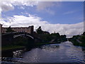
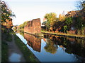
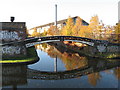
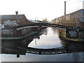
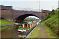
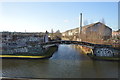
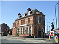
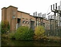
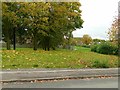
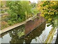
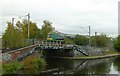
100 photos from this area
Area Information
Key information about the B16 0EF including its size, population, and administrative classification.
- Area Type
- Postcode
- Area Size
- 1.3 hectares
- Population
- 2103
- Population Density
- 3499 people/km²
House Prices in B16 0EF
11
Properties
£110,750
Average Sold Price
£34,000
Lowest Price
£251,000
Highest Price
Showing 11 properties
| Address | Type | Beds | Baths | Last Sale Price | Last Sale Date | |
|---|---|---|---|---|---|---|
| 104 Barford Road, Birmingham, B16 0EF | Terraced | 5 | 3 | £251,000 | Jul 2025 | |
| 100 Barford Road, Birmingham, B16 0EF | Terraced | 5 | 3 | £205,000 | Jul 2017 | |
| 69 Barford Road, Birmingham, B16 0EF | Semi-detached | 3 | 2 | £131,000 | Sep 2016 | |
| 98 Barford Road, Birmingham, B16 0EF | Terraced | 1 | 1 | £68,000 | Nov 2015 | |
| 106 Barford Road, Birmingham, B16 0EF | Terraced | - | - | £106,000 | Oct 2008 | |
| 67 Barford Road, Birmingham, B16 0EF | Semi-detached | 3 | 1 | £105,000 | Oct 2006 | |
| 102 Barford Road, Birmingham, B16 0EF | Terraced | 3 | 1 | £57,000 | Jan 2003 | |
| 94 Barford Road, Birmingham, B16 0EF | Terraced | 3 | 1 | £39,750 | Apr 2001 | |
| 92 Barford Road, Birmingham, B16 0EF | Terraced | 3 | 1 | £34,000 | Mar 2001 | |
| 96 Barford Road, Birmingham, B16 0EF | Terraced | 3 | 1 | - | - |
Page 1 of 2
Energy Efficiency in B16 0EF
Amenities
Schools
| Rank | School | Type | Entry gender | Ages |
|---|
Explore more schools in this area
Go to Schools tabDemographics
Household Size
One person
most common
Accommodation Type
Houses
most common
Tenure
27
majority
Ethnic Group
White
most common
Religion
N/A
most common
Household Composition
N/A
most common
Age
47
median
Adults (30-64 years)
most common
Household Deprivation
N/A
with no deprivation
NS-SEC
18
in Lower managerial occupations
Explore more demographic insights in this area
Go to Demographics tabPlanning
Planning Constraints
- Flood RiskPremium
- Ramsar Wetland SitesPremium
- Area of Outstanding Natural BeautyPremium
- Protected Nature ReservePremium
- Protected WoodlandPremium