Area Overview for B14 7SG
Photos of B14 7SG
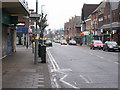
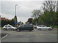
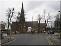
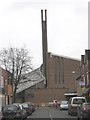
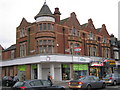
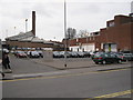
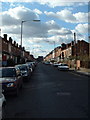
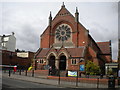

65 photos from this area
Area Information
Key information about the B14 7SG including its size, population, and administrative classification.
- Area Type
- Postcode
- Area Size
- 1.1 hectares
- Population
- 1646
- Population Density
- 5942 people/km²
House Prices in B14 7SG
30
Properties
£188,940
Average Sold Price
£49,950
Lowest Price
£271,400
Highest Price
Showing 30 properties
| Address | Type | Beds | Baths | Last Sale Price | Last Sale Date | |
|---|---|---|---|---|---|---|
| 23 Balaclava Road, Birmingham, B14 7SG | Flat | 1 | 1 | £115,000 | Sep 2025 | |
| 37A Balaclava Road, Birmingham, B14 7SG | Terraced | 3 | - | £240,000 | Dec 2021 | |
| 37 Balaclava Road, Birmingham, B14 7SG | Terraced | 3 | 1 | £271,400 | Sep 2021 | |
| 20 Balaclava Road, Birmingham, B14 7SG | house | 2 | - | £234,550 | Nov 2020 | |
| 31 Balaclava Road, Birmingham, B14 7SG | Terraced | 3 | 1 | £196,600 | May 2019 | |
| 5 Balaclava Road, Birmingham, B14 7SG | Terraced | 3 | 1 | £235,950 | Aug 2018 | |
| 22 Balaclava Road, Birmingham, B14 7SG | Terraced | 3 | 2 | £229,950 | Oct 2015 | |
| 3 Balaclava Road, Birmingham, B14 7SG | Terraced | 2 | 1 | £154,000 | Oct 2014 | |
| 35 Balaclava Road, Birmingham, B14 7SG | house | - | - | £162,000 | Oct 2004 | |
| 16 Balaclava Road, Birmingham, B14 7SG | Terraced | - | - | £49,950 | Mar 1998 |
Page 1 of 3
Energy Efficiency in B14 7SG
Amenities
Schools
| Rank | School | Type | Entry gender | Ages |
|---|
Explore more schools in this area
Go to Schools tabDemographics
Household Size
One person
most common
Accommodation Type
Houses
most common
Tenure
52
majority
Ethnic Group
White
most common
Religion
N/A
most common
Household Composition
N/A
most common
Age
47
median
Adults (30-64 years)
most common
Household Deprivation
N/A
with no deprivation
NS-SEC
44
in Lower managerial occupations
Explore more demographic insights in this area
Go to Demographics tabPlanning
Planning Constraints
- Flood RiskPremium
- Ramsar Wetland SitesPremium
- Area of Outstanding Natural BeautyPremium
- Protected Nature ReservePremium
- Protected WoodlandPremium