Area Overview for B14 7AT
Photos of B14 7AT
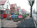
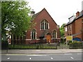
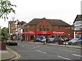
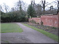
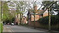
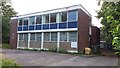
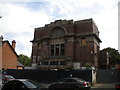
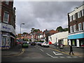
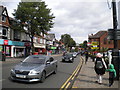
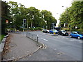
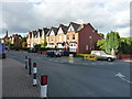
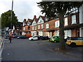
80 photos from this area
Area Information
Key information about the B14 7AT including its size, population, and administrative classification.
- Area Type
- Postcode
- Area Size
- 2.8 hectares
- Population
- 1479
- Population Density
- 5400 people/km²
House Prices in B14 7AT
100
Properties
£349,138
Average Sold Price
£65,000
Lowest Price
£670,000
Highest Price
Showing 100 properties
| Address | Type | Beds | Baths | Last Sale Price | Last Sale Date | |
|---|---|---|---|---|---|---|
| 16 Ashfield Avenue, Birmingham, B14 7AT | Semi-detached | 4 | - | £510,000 | Oct 2023 | |
| 19 Ashfield Avenue, Birmingham, B14 7AT | Semi-detached | 3 | 1 | £399,950 | Mar 2021 | |
| 41 Ashfield Avenue, Birmingham, B14 7AT | Detached | 5 | 2 | £670,000 | Mar 2021 | |
| 10 Ashfield Avenue, Birmingham, B14 7AT | Semi-detached | 5 | 2 | £523,000 | May 2019 | |
| 30 Ashfield Avenue, Birmingham, B14 7AT | Semi-detached | 4 | 2 | £590,000 | Jul 2018 | |
| 11 Ashfield Avenue, Birmingham, B14 7AT | Semi-detached | 5 | 2 | £561,000 | Mar 2018 | |
| 22 Ashfield Avenue, Birmingham, B14 7AT | Semi-detached | 6 | 2 | £390,000 | Jul 2016 | |
| 39 Ashfield Avenue, Birmingham, B14 7AT | Detached | 5 | - | £547,500 | Jul 2015 | |
| 8 Ashfield Avenue, Birmingham, B14 7AT | house | - | - | £337,000 | Nov 2009 | |
| 35 Ashfield Avenue, Birmingham, B14 7AT | Detached | - | - | £420,000 | Aug 2009 |
Page 1 of 10
Energy Efficiency in B14 7AT
Amenities
Schools
| Rank | School | Type | Entry gender | Ages |
|---|
Explore more schools in this area
Go to Schools tabDemographics
Household Size
One person
most common
Accommodation Type
Houses
most common
Tenure
61
majority
Ethnic Group
White
most common
Religion
N/A
most common
Household Composition
N/A
most common
Age
47
median
Adults (30-64 years)
most common
Household Deprivation
N/A
with no deprivation
NS-SEC
51
in Lower managerial occupations
Explore more demographic insights in this area
Go to Demographics tabPlanning
Planning Constraints
- Flood RiskPremium
- Ramsar Wetland SitesPremium
- Area of Outstanding Natural BeautyPremium
- Protected Nature ReservePremium
- Protected WoodlandPremium