Area Overview for B14 5YX
Photos of B14 5YX
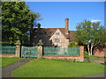
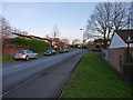
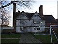

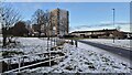
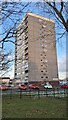
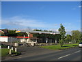
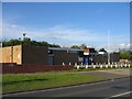
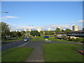
Area Information
Living in B14 5YX means residing in a small, tightly knit residential cluster within the Druids Heath area of Birmingham. With a population of 1,581, this postcode forms part of a larger housing estate developed postwar to accommodate Birmingham’s growing population. The area is characterised by its 1960s-era housing stock, including seven tower blocks and smaller homes, though redevelopment plans approved in 2025 promise significant changes. Daily life here is shaped by its proximity to Bells Farm Primary School, a local landmark with a “good” Ofsted rating, and the surrounding infrastructure of retail, rail, and metro links. While the area is historically associated with deprivation, its strategic location—6 miles south of Birmingham’s city centre—offers practical connectivity to nearby amenities. Residents navigate a mix of urban living and planned transformation, with the area’s future hinging on the replacement of 1,000 council homes with mixed-tenure housing and green spaces. For now, B14 5YX remains a pragmatic choice for those seeking affordability in a transitional part of the city.
- Area Type
- Postcode
- Area Size
- Not available
- Population
- 1581
- Population Density
- 4690 people/km²
The property market in B14 5YX is defined by its postwar housing stock, with 46% of homes owner-occupied and the rest likely rented. The accommodation type is predominantly houses, though the area’s 1960s tower blocks and smaller homes suggest a mix of housing styles. Given the postcode’s small size and the planned redevelopment of over 1,000 council homes, the current market is likely to remain constrained. Buyers should consider the area’s transitional nature: while existing properties may offer affordability, future changes could alter the landscape significantly. The mix of owner-occupied and rental properties reflects both long-term residents and those seeking short-term housing. For buyers, the limited housing stock means competition may be fierce, particularly as redevelopment progresses.
House Prices in B14 5YX
No properties found in this postcode.
Energy Efficiency in B14 5YX
The lifestyle in B14 5YX is shaped by its proximity to retail, transport, and community hubs. Nearby shops include Spar, Iceland Maypole, and Aldi Warstock, offering convenience for daily essentials. The area’s rail and metro connections provide easy access to Birmingham’s cultural and commercial centres, such as Edgbaston Village and Grand Central New Street. While the data does not specify parks or leisure facilities, the planned redevelopment includes green spaces, which may enhance future recreational options. The mix of retail and transport links ensures practicality for residents, though the area’s character remains defined by its postwar housing and ongoing transformation.
Amenities
Schools
The nearest school to B14 5YX is Bells Farm Primary School, a primary institution with a “good” Ofsted rating. This school serves the local community, offering education for younger children within the area. However, no secondary schools are listed in the data, meaning families may need to look beyond B14 5YX for comprehensive schooling. The presence of a well-rated primary school is a key draw for families, though the lack of nearby secondary education could pose logistical challenges. The school’s performance suggests a baseline of quality, but parents should investigate further for secondary options.
| Rank | School | Type | Entry gender | Ages |
|---|
Explore more schools in this area
Go to Schools tabDemographics
The community in B14 5YX is predominantly middle-aged, with a median age of 47 and the most common age range being adults aged 30–64. Home ownership stands at 46%, below the national average, indicating a rental-heavy market. The accommodation type is primarily houses, though the area’s 1960s housing stock reflects its postwar origins. The predominant ethnic group is White, with no specific data on other demographics provided. Deprivation metrics highlight challenges: the ward ranks 25th out of 69 Birmingham wards for deprivation, with 31.6% child poverty and above-average claimant unemployment. This context shapes daily life, with limited access to high-skilled employment and educational qualifications—only 25.4% of residents hold NVQ4+ qualifications. Despite these factors, the area’s proximity to transport links and schools offers some counterbalance to its socio-economic challenges.
Household Size
Accommodation Type
Tenure
Ethnic Group
Religion
Household Composition
Age
Household Deprivation
NS-SEC
Explore more demographic insights in this area
Go to Demographics tabPlanning
Planning Constraints
- Flood RiskPremium
- Ramsar Wetland SitesPremium
- Area of Outstanding Natural BeautyPremium
- Protected Nature ReservePremium
- Protected WoodlandPremium