Area Overview for B14 5EY
Photos of B14 5EY
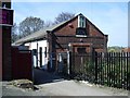
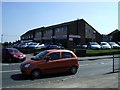
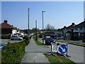
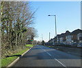
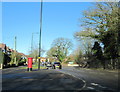

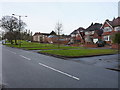
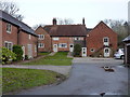
54 photos from this area
Area Information
Key information about the B14 5EY including its size, population, and administrative classification.
- Area Type
- Postcode
- Area Size
- 1.5 hectares
- Population
- 1457
- Population Density
- 2958 people/km²
House Prices in B14 5EY
22
Properties
£146,600
Average Sold Price
£69,500
Lowest Price
£260,000
Highest Price
Showing 22 properties
| Address | Type | Beds | Baths | Last Sale Price | Last Sale Date | |
|---|---|---|---|---|---|---|
| 715 Alcester Road South, Billesley, Birmingham, B14 5EY | Detached | 3 | - | £260,000 | May 2022 | |
| 695 Alcester Road South, Billesley, Birmingham, B14 5EY | Semi-detached | 3 | - | £137,000 | Sep 2015 | |
| 717 Alcester Road South, Billesley, Birmingham, B14 5EY | Detached | - | - | £160,000 | Apr 2014 | |
| 743A Alcester Road South, Billesley, Birmingham, B14 5EY | house | 3 | - | £127,000 | Aug 2012 | |
| 697 Alcester Road South, Billesley, Birmingham, B14 5EY | house | - | - | £107,500 | May 2011 | |
| 737 Alcester Road South, Billesley, Birmingham, B14 5EY | house | 3 | - | £133,000 | Nov 2010 | |
| 723 Alcester Road South, Billesley, Birmingham, B14 5EY | Semi-detached | 3 | - | £157,000 | Aug 2010 | |
| 733 Alcester Road South, Billesley, Birmingham, B14 5EY | Detached | - | - | £237,000 | Feb 2006 | |
| 735 Alcester Road South, Billesley, Birmingham, B14 5EY | house | - | - | £78,000 | May 2002 | |
| 721 Alcester Road South, Billesley, Birmingham, B14 5EY | Detached | - | - | £69,500 | Dec 1999 |
Page 1 of 3
Energy Efficiency in B14 5EY
Amenities
Schools
| Rank | School | Type | Entry gender | Ages |
|---|
Explore more schools in this area
Go to Schools tabDemographics
Household Size
Family (3-5 people)
most common
Accommodation Type
Houses
most common
Tenure
58
majority
Ethnic Group
White
most common
Religion
N/A
most common
Household Composition
N/A
most common
Age
47
median
Adults (30-64 years)
most common
Household Deprivation
N/A
with no deprivation
NS-SEC
20
in Lower managerial occupations
Explore more demographic insights in this area
Go to Demographics tabPlanning
Planning Constraints
- Flood RiskPremium
- Ramsar Wetland SitesPremium
- Area of Outstanding Natural BeautyPremium
- Protected Nature ReservePremium
- Protected WoodlandPremium