Area Overview for B14 5BS
Photos of B14 5BS
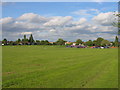
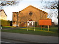
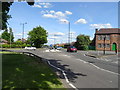
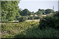
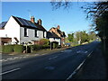
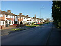

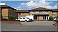
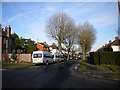
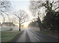
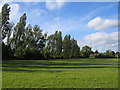
16 photos from this area
Area Information
Key information about the B14 5BS including its size, population, and administrative classification.
- Area Type
- Postcode
- Area Size
- 1.0 hectares
- Population
- 1613
- Population Density
- 6565 people/km²
House Prices in B14 5BS
26
Properties
£158,008
Average Sold Price
£57,500
Lowest Price
£230,000
Highest Price
Showing 26 properties
| Address | Type | Beds | Baths | Last Sale Price | Last Sale Date | |
|---|---|---|---|---|---|---|
| 100 Glenavon Road, Birmingham, B14 5BS | Semi-detached | 3 | 1 | £230,000 | Aug 2023 | |
| 140 Glenavon Road, Birmingham, B14 5BS | house | 3 | 1 | £186,000 | Jul 2023 | |
| 138 Glenavon Road, Birmingham, B14 5BS | Retail | 3 | - | £227,500 | Jun 2023 | |
| 98 Glenavon Road, Birmingham, B14 5BS | Semi-detached | 3 | 1 | £230,000 | Feb 2023 | |
| 134 Glenavon Road, Birmingham, B14 5BS | Semi-detached | 3 | 2 | £213,000 | Feb 2021 | |
| 142 Glenavon Road, Birmingham, B14 5BS | Terraced | 3 | 1 | £155,000 | Nov 2018 | |
| 114 Glenavon Road, Birmingham, B14 5BS | Detached | 3 | 1 | £163,100 | Jul 2017 | |
| 132 Glenavon Road, Birmingham, B14 5BS | Terraced | 3 | 1 | £121,000 | Oct 2013 | |
| 118 Glenavon Road, Birmingham, B14 5BS | Semi-detached | 3 | - | £120,000 | Jun 2013 | |
| 144 Glenavon Road, Birmingham, B14 5BS | house | 3 | - | £126,000 | Sep 2010 |
Page 1 of 3
Energy Efficiency in B14 5BS
Amenities
Schools
| Rank | School | Type | Entry gender | Ages |
|---|
Explore more schools in this area
Go to Schools tabDemographics
Household Size
Family (3-5 people)
most common
Accommodation Type
Houses
most common
Tenure
62
majority
Ethnic Group
White
most common
Religion
N/A
most common
Household Composition
N/A
most common
Age
47
median
Adults (30-64 years)
most common
Household Deprivation
N/A
with no deprivation
NS-SEC
19
in Lower managerial occupations
Explore more demographic insights in this area
Go to Demographics tabPlanning
Planning Constraints
- Flood RiskPremium
- Ramsar Wetland SitesPremium
- Area of Outstanding Natural BeautyPremium
- Protected Nature ReservePremium
- Protected WoodlandPremium