Area Overview for B14 4SN
Photos of B14 4SN
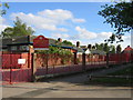
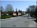
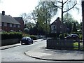
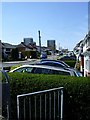
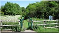
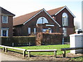
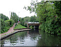
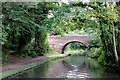
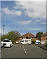


73 photos from this area
Area Information
Key information about the B14 4SN including its size, population, and administrative classification.
- Area Type
- Postcode
- Area Size
- 1.2 hectares
- Population
- 1613
- Population Density
- 6565 people/km²
House Prices in B14 4SN
24
Properties
£109,679
Average Sold Price
£48,750
Lowest Price
£200,000
Highest Price
Showing 24 properties
| Address | Type | Beds | Baths | Last Sale Price | Last Sale Date | |
|---|---|---|---|---|---|---|
| 167 Warstock Road, Birmingham, B14 4SN | Semi-detached | 2 | 1 | £200,000 | Apr 2024 | |
| 127 Warstock Road, Birmingham, B14 4SN | house | 4 | 1 | £142,500 | May 2022 | |
| 169 Warstock Road, Birmingham, B14 4SN | Semi-detached | 2 | 1 | £165,000 | Mar 2020 | |
| 139 Warstock Road, Birmingham, B14 4SN | house | 4 | 1 | £181,000 | Oct 2017 | |
| 153 Warstock Road, Birmingham, B14 4SN | house | 4 | - | £90,000 | Mar 2015 | |
| 145 Warstock Road, Birmingham, B14 4SN | house | - | - | £99,500 | Jul 2012 | |
| 129 Warstock Road, Birmingham, B14 4SN | house | 4 | 1 | £110,000 | Nov 2010 | |
| 157 Warstock Road, Birmingham, B14 4SN | Terraced | - | - | £91,950 | Jun 2003 | |
| 143 Warstock Road, Birmingham, B14 4SN | Semi-detached | 4 | 2 | £68,000 | Jan 2003 | |
| 125 Warstock Road, Birmingham, B14 4SN | Semi-detached | - | - | £69,500 | Aug 2001 |
Page 1 of 3
Energy Efficiency in B14 4SN
Amenities
Schools
| Rank | School | Type | Entry gender | Ages |
|---|
Explore more schools in this area
Go to Schools tabDemographics
Household Size
Family (3-5 people)
most common
Accommodation Type
Houses
most common
Tenure
62
majority
Ethnic Group
White
most common
Religion
N/A
most common
Household Composition
N/A
most common
Age
47
median
Adults (30-64 years)
most common
Household Deprivation
N/A
with no deprivation
NS-SEC
19
in Lower managerial occupations
Explore more demographic insights in this area
Go to Demographics tabPlanning
Planning Constraints
- Flood RiskPremium
- Ramsar Wetland SitesPremium
- Area of Outstanding Natural BeautyPremium
- Protected Nature ReservePremium
- Protected WoodlandPremium