Area Overview for B14 4NP
Photos of B14 4NP
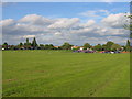
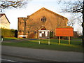
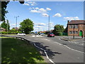
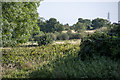
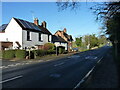
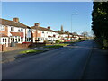

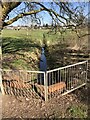
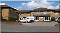
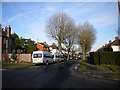
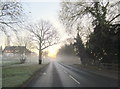
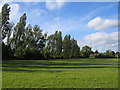
16 photos from this area
Area Information
Key information about the B14 4NP including its size, population, and administrative classification.
- Area Type
- Postcode
- Area Size
- 2.1 hectares
- Population
- 1542
- Population Density
- 4697 people/km²
House Prices in B14 4NP
54
Properties
£141,696
Average Sold Price
£32,000
Lowest Price
£245,000
Highest Price
Showing 54 properties
| Address | Type | Beds | Baths | Last Sale Price | Last Sale Date | |
|---|---|---|---|---|---|---|
| 84 Gorleston Road, Birmingham, B14 4NP | Terraced | 3 | 1 | £240,000 | Sep 2025 | |
| 88 Gorleston Road, Birmingham, B14 4NP | house | 3 | 1 | £228,000 | Feb 2025 | |
| 98 Gorleston Road, Birmingham, B14 4NP | Terraced | 3 | 1 | £240,000 | Jan 2025 | |
| 101 Gorleston Road, Birmingham, B14 4NP | Terraced | 3 | 1 | £243,000 | Sep 2024 | |
| 116 Gorleston Road, Birmingham, B14 4NP | Terraced | 3 | - | £215,000 | Nov 2022 | |
| 108 Gorleston Road, Birmingham, B14 4NP | Retail | 3 | 1 | £245,000 | Sep 2022 | |
| 86 Gorleston Road, Birmingham, B14 4NP | house | - | - | £150,000 | Nov 2020 | |
| 92 Gorleston Road, Birmingham, B14 4NP | Terraced | 3 | 1 | £169,000 | Jul 2020 | |
| 79 Gorleston Road, Birmingham, B14 4NP | Terraced | 3 | 2 | £180,000 | Jul 2019 | |
| 85 Gorleston Road, Birmingham, B14 4NP | house | 2 | 1 | £155,000 | Jul 2018 |
Page 1 of 6
Energy Efficiency in B14 4NP
Amenities
Schools
| Rank | School | Type | Entry gender | Ages |
|---|
Explore more schools in this area
Go to Schools tabDemographics
Household Size
One person
most common
Accommodation Type
Houses
most common
Tenure
59
majority
Ethnic Group
White
most common
Religion
N/A
most common
Household Composition
N/A
most common
Age
47
median
Adults (30-64 years)
most common
Household Deprivation
N/A
with no deprivation
NS-SEC
20
in Lower managerial occupations
Explore more demographic insights in this area
Go to Demographics tabPlanning
Planning Constraints
- Flood RiskPremium
- Ramsar Wetland SitesPremium
- Area of Outstanding Natural BeautyPremium
- Protected Nature ReservePremium
- Protected WoodlandPremium