Area Overview for B13 9SE
Photos of B13 9SE
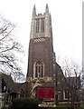
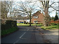
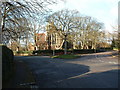

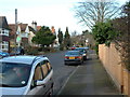
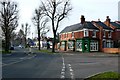
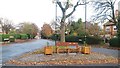
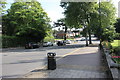
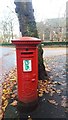
84 photos from this area
Area Information
Key information about the B13 9SE including its size, population, and administrative classification.
- Area Type
- Postcode
- Area Size
- 2.9 hectares
- Population
- 1729
- Population Density
- 3872 people/km²
House Prices in B13 9SE
41
Properties
£582,212
Average Sold Price
£144,950
Lowest Price
£1,350,000
Highest Price
Showing 41 properties
| Address | Type | Beds | Baths | Last Sale Price | Last Sale Date | |
|---|---|---|---|---|---|---|
| 59 Cotton Lane, Birmingham, B13 9SE | Semi-detached | 5 | 2 | £835,000 | Mar 2025 | |
| 66 Cotton Lane, Birmingham, B13 9SE | house | - | - | £1,350,000 | Feb 2024 | |
| 91 Cotton Lane, Birmingham, B13 9SE | Retail | 2 | 1 | £199,000 | Apr 2022 | |
| 62 Cotton Lane, Birmingham, B13 9SE | Detached | 6 | 3 | £895,000 | Jun 2021 | |
| 86 Cotton Lane, Birmingham, B13 9SE | Detached | 5 | 1 | £895,000 | Dec 2017 | |
| 57 Cotton Lane, Birmingham, B13 9SE | Detached | 5 | - | £485,000 | Mar 2016 | |
| 58 Cotton Lane, Birmingham, B13 9SE | house | 4 | 1 | £407,500 | Mar 2015 | |
| 51A Cotton Lane, Birmingham, B13 9SE | Detached | 4 | 3 | £400,000 | Mar 2015 | |
| 65 Cotton Lane, Birmingham, B13 9SE | Semi-detached | 5 | - | £535,000 | Jan 2015 | |
| 69 Cotton Lane, Birmingham, B13 9SE | Detached | 6 | - | £730,000 | Nov 2014 |
Page 1 of 5
Energy Efficiency in B13 9SE
Amenities
Schools
| Rank | School | Type | Entry gender | Ages |
|---|
Explore more schools in this area
Go to Schools tabDemographics
Household Size
One person
most common
Accommodation Type
Flats
most common
Tenure
59
majority
Ethnic Group
White
most common
Religion
N/A
most common
Household Composition
N/A
most common
Age
47
median
Adults (30-64 years)
most common
Household Deprivation
N/A
with no deprivation
NS-SEC
47
in Lower managerial occupations
Explore more demographic insights in this area
Go to Demographics tabPlanning
Planning Constraints
- Flood RiskPremium
- Ramsar Wetland SitesPremium
- Area of Outstanding Natural BeautyPremium
- Protected Nature ReservePremium
- Protected WoodlandPremium